MundoGEO#Connect LatinAmerica 2012, the largest gathering of geotechnology industry in Latin America, held May 29 thru 31 at the Frei Caneca Convention Center in Sao Paulo (SP), will accommodate more than 50 multinational brands in its fair of products and services. Among them, the highlights are Google Enterprise corporative products of the global giant; Trimble and Hexagon, groups working in various sectors of the geospatial industry, GeoEye and DigitalGlobe, providers of high resolution satellite images.
The visitors of the MundoGEO#Connect LatinAmerica fair will also have the opportunity to see the products of multinational companies – through the booths of local representatives – such as:
 > Erdas: the company has been in business since 1978. It is a pioneer in business geospatial software sector. Today, it operates together with Intergraph, which has been in the market since 1969, in the area of remote sensing, photogrammetry and data management;
> RapidEye: has provided solutions for Business Intelligence since 1996. It started in Germany, and it is strong in the area of satellites for Earth Observation; Leica Geosystems: global company making its present in the market for 200 years. Leica Geosystems is in spatial sector, from data capture to data analysis. It is part of the Hexagon Group, Sweden, as well as Erdas and Intergraph;
> Trimble: global company, provider of solutions such as GPS, lasers, software, wireless communication. It has been in business for over 30 years;
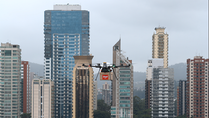
> Google Enterprise: solutions division of Google enterprises. It offers products such as applications and programs. Google Earth and Google Maps are examples of services that may be corporate oriented;
> DigitalGlobe: a global provider of satellite images for commercial use since 1993. One of the company’s great achievement is QuickBird satellite, launched in 2001;
> GeoEye: company that operates in the acquisition, processing and analysis of geospatial data and satellite images;
> GeoMax: developer and distributor company of instruments in the area of topography. It is part of the Hexagon Group;
> Topcon Corporation: It has been in business since 1932, providing instruments in the areas of topography and precision agriculture;
> TomTom: Dutch manufacturer of GPS navigators, founded in 1991. It is in over 40 countries. Two years ago the company bought Tele Atlas, a provider of maps;
Besides the fair, executives from some of these companies will be present at Geotendencies Forum to be held on the first day of MundoGEO#Connect LatinAmerica 2012, with simultaneous translation in Portuguese, English and Spanish. May 29 is reserved to welcome hundreds of experts, users and decision makers of the geospatial industry, to hear the opinion and discuss trends in geotechnologies for years to come. This is one of the forums that get under way during the MundoGEO#Connect LatinAmerica 2012.
FAQs
>How did the event start? MundoGEO # Connect LatinAmerica came about from the perception of its founders on issues that resonate the most in the major social networks, in surveys on subscription magazines and visitors to the MundoGEO portal. Thus, one objective of the event is to connect, either in person or online, users, experts and decision makers in the area of geo, so there is an exchange of ideas on current issues of the geospatial industry in Brazil and Latin America.
> How is the workspace? The number of auditoriums for the activities of MundoGEO#Connect LatinAmerica 2012 was enlarged by 100% in relation to the 2011 event. Also, in this edition, the venues at the products expo and services were increased by 50%. Free access to the expo is granted for users and industry professionals.
> Who attends the MundoGEO # Connect LatinAmerica? The data collected in the 2011 edition showed that 32% of the participants are directors and 33% managers or coordinators, 50% are from the private sector and 36% in the public sector and the areas with higher percentages of interest are the environment, natural resources, utilities, infrastructure and land planning.
> How was the first edition of the event? In 2011, there were more than 100 speakers, including representatives of international companies such as Joel Campbell, the president of Erdas, Tarun Bhatnagar, director of corporate geo of Google for Latin America; Wolfgang Bidermann, executive of RapidEye; Dale Lutz, vice president of product development at Safe Software, and Mike Renslow, representative of the International Society for Photogrammetry and Remote Sensing (ISPRS).
> What’s new in MundoGEO # Connect LatinAmerica 2012? According to Emerson Granemann, director and publisher of MundoGEO Group, the event will have several seminars, workshops and side events that will discuss trends in GIS, remote sensing, surveying, GPS and spatial data infrastructures in the areas of oil & gas, mining, government, agribusiness, environment, among others. “We have a lot of innovations in this second edition. The award ceremony was expanded to choose the best professionals, institutions, companies and brands, upon voting on the Internet throughout the geo community, “says Emerson.
> How can I participate? Registrations for the event are already open. Click here to check course packages, seminars and forums of MundoGEO # Connect LatinAmerica 2012;
Service
MundoGEO#Connect LatinAmerica 2012
Where: Frei Caneca Convetion Center, Sao Paulo.
Date: May 29 thru 31
Information: https://mundogeoconnect.com/2012/en
MundoGEO#Connect LatinAmerica 2012 counts with the sponsor of:
Santiago & Cintra Geo-tecnologias, that represents Trimble, Topcon, Faro and Optech;
Furtado Schmidt, that represents Garmin, Nikon and Spectra Precision;
Hexagon, one of the most important groups in the metrology sector, and Leica Geosystems, Erdas, Intergraph and Sisgraph detainer;
Alezi Teodolini, that represents Ashtech and Datageosis.