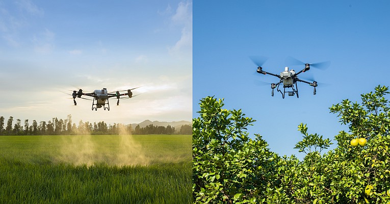
Aerial mapping company Bluesky has been awarded contracts to map heat loss across towns and cities covering around 10 per cent of the population. Using specialist thermal sensors mounted on survey aircraft Bluesky accurately records heat loss from homes and businesses. Working with Local Authorities, property owners and energy companies the colour-coded thermal maps are matched against addresses to give accurate and up to date information to tackle fuel poverty, carbon emissions and improve energy efficiency. Bluesky thermal maps have also been used to identify illegal dwellings – known as beds in sheds, and even uncover cannabis factories.
“At a time when energy usage and fuel poverty are once again top of the political agenda and front page news, it is essential that those who are charged with protecting the most vulnerable in society are armed with the information they need,” commented Rachel Tidmarsh, Managing Director of Bluesky International. “Thermal survey data clearly shows households that differ from adjacent properties. Most often these are sho wn as ‘hot spots’ and can be explained by poor insulation however unduly ‘cold’ properties are also of concern as these households may be experiencing fuel poverty where they simply cannot afford to switch on the heating. Combining the thermal data with demographic and other datasets can highlight properties where this may be the case.”
Bluesky has already flown about 1,250 square kilometres – accounting for around 4 million of the population, in the last year. Projects have been completed on behalf of Slough Borough Council, Birmingham City Council as well as Bury, Stafford, Coventry and Derby. Additional data capture is due to be undertaken in central London, the south of England and Scotland.
Thermal surveys are flown during the winter months, early evening and after sunset, in order to capture the widest variations in temperature that can occur as a result of poor insulation or excessive energy consumption. The data can be produced ready for use in a Geographical Information System (GIS) or Bluesky can produce ready to be delivered marketing documents highlighting high heat loss values for individual properties.
The thermal surveys are undertaken using a ‘microbolometer’ thermal camera specifically designed for airborne surveying and ideal for use in aircraft flying at night. It allows measurements of heat loss from property roofs to be recorded with higher precision and more consistent results than other systems currently in use in the UK.
Source: Geoinformatic