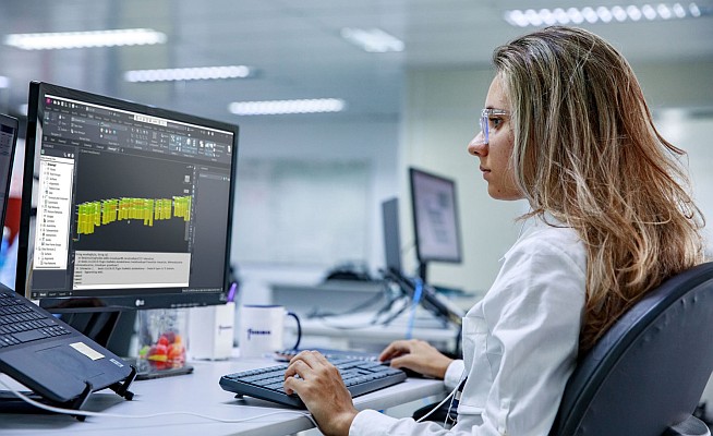
Intergraph announces the release of LPS 2013 as part of Intergraph Geospatial Portfolio 2013. A powerful photogrammetry system available in a user-friendly environment that guarantees results even for photogrammetry novices, LPS 2013 provides enhanced tools for delivering full analytical triangulation, digital terrain model generation, orthophoto production, mosaicking, and 3D feature extraction.
 LPS 2013 increases organizational productivity while ensuring high accuracy by automating precision measurement. Key features include flexible operations such as terrain editing and feature extraction. With its tight integration with Erdas Imagine 2013, LPS 2013 is the ideal photogrammetric package. This product is well suited for projects involving varied types of data and further processing and analysis of airborne and satellite imagery.
“With more organizations requiring photogrammetry solutions for analyzing both airborne and satellite imagery for smarter decision making, LPS 2013 is the ideal solution to meet this need,” said Mladen Stojic, Vice President – Geospatial, Intergraph. “In addition, LPS 2013 guarantees results and ease-of-use for even the most novice users – dramatically increasing the value of photogrammetry across the entire organization.”
New features of LPS 2013 include:
Faster, Easier Access to All LPS Tools and Features: With tighter integration with the Erdas Imagine tools, all LPS tools and features are now presented within the Erdas Imagine ribbon. This simplifies workflows for project photogrammetry users who work with smaller quantities of raw imagery, use varied types of data, and who will likely perform further processing, such as change detection or image classification.
Enhanced Terrain Handling: The commonly used LTF terrain file format can now store more points. In addition, LPS 2013 now offers overviews for an LTF file, enabling faster handling of large LTF files.
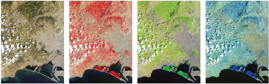
Expanded Sensor Support: LPS 2013 now offers support for additional sensors, including the VisionMap A3 Super Large Format (SLF) Model, the Pleiades Rational Polynomial Coefficients (RPC) Model, and the DEIMOS RPC Model. These sensor models are also available throughout Erdas Imagine 2013.
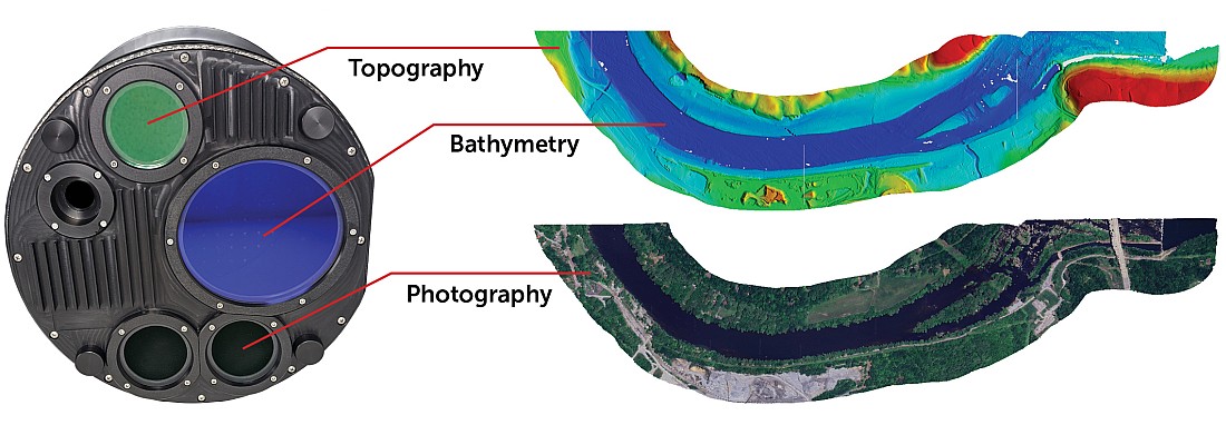
New Tools and Technology for Handling Point Clouds: Simultaneously view point clouds in 2D, 3D and as a user specified profile that can reveal cross sections of the point cloud. There are also tools to classify, subset and filter your point data, as well as RGB encode it.
Interoperable workflows: Improvements implemented throughout LPS, as well as in the other photogrammetry products, including ImageStation’s Semi-Global Matching dense surface correlation (point cloud) capability.
To learn more about Intergraph Geospatial Portfolio 2013, visit geospatial.intergraph.com/2013.