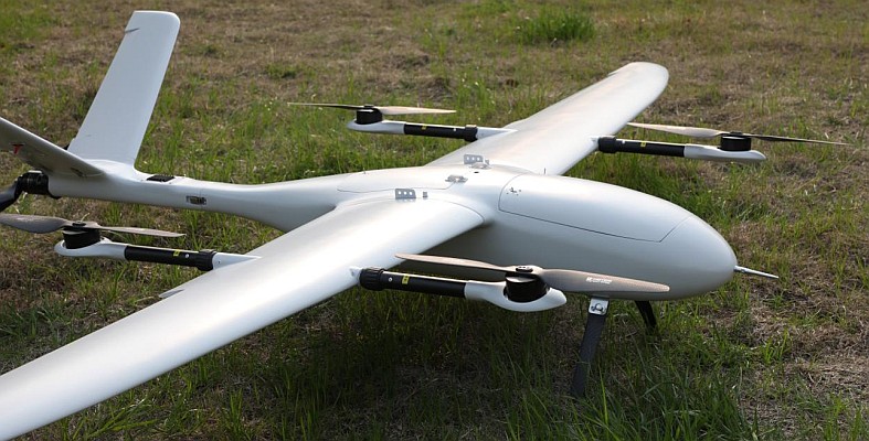
 South Australia-based DroneMetrex reliably and repeatedly maps at unprecedented 25 mm absolute topographic accuracy in height via its in-house developed TopoDrones. So far, no other manufacturer of unmanned aerial vehicles (UAVs) has claimed such an accuracy, neither relative, nor absolute.
The company is able to achieve this because it has built a proper photogrammetric system from the start and then adapted it to an airframe. Apart from that, DroneMetrex have addressed the ever-present issues of camera geometry errors that are introduced through the natural physics of flight from a small airframe with a camera system.
Any such drone flights will produce rapid and aggressive movements of the camera array in tip, tilt and yaw – plus forward and side image motion. If these movements are not eliminated during image capture then this will translate to large random errors which no amount of post-processing software can rigorously solve. DroneMetrex have successfully resolved those issues with the integration of the in-house developed unique hardware and software. Additionally, the company has addressed the forward motion and side motion compensation of image capture.
Tom Tadrowski, Executive Director of DroneMetrex, states: “The TopoDrones are unmatched for mapping accuracy, can be flown autonomously and manually. So for mapping, you start the input with a near-nadir, no-crab, motion-blur-less image. Isn’t this the fundamental input for any accurate photogrammetric mapping?”


