MundoGEO#Connect LatinAmerica 2013 was held in June 18-20 in Sao Paulo, and presented various models of Drones on its trade fair
The 3rd edition of MundoGEO#Connect LatinAmerica, Conference and Trade Fair of Geomatics and Geospatial Solutions, was held in Sao Paulo in June, and demonstrated the strength of the geospatial market in Brazil and Latin America. In total 3,540 participants from over 25 countries attended the 20 activities of the event, besides 150 speakers and 65 exhibitors at a trade fair with 4,600 square meters. In 2013 MundoGEO#Connect was supported by global strategic brands such as Hexagon, Trimble, ESRI, Digital Globe, Google, RapidEye, Pitney Bowes, among others.

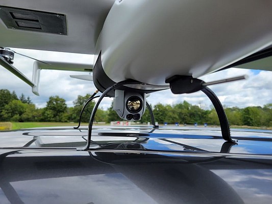
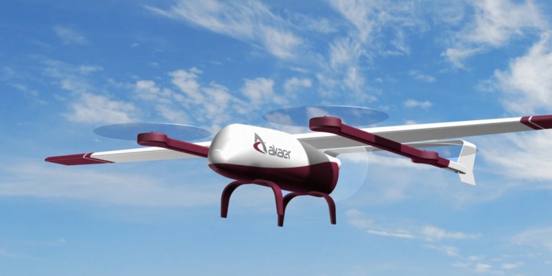
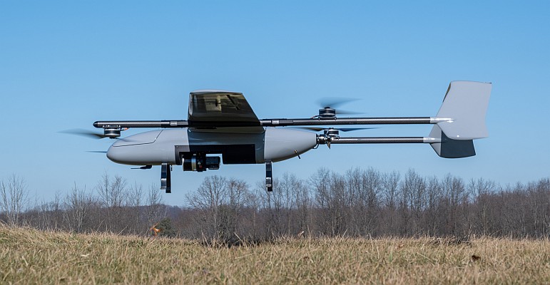
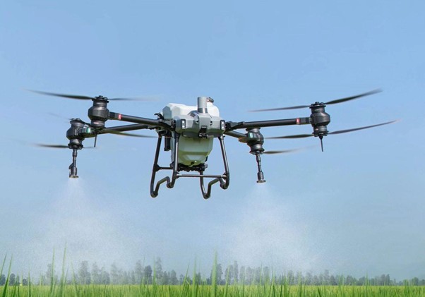
Unmanned Aerial Vehicles (UAVs or Drones) represent a new technology and its importance grows fast in global and Latin American market. Over 10 models of UAVs were exposed at MundoGEO#Connect 2013 trade fair, from different brands and manufacturers. In order to present different characteristics of each vehicle, sensor and piloting solution to the community, the conference featured UAVs Seminar, bringing experts to demonstrate concrete results of UAVs usage.
“The time of the unmanned aircraft just like planes flying by themselves has passed. Nowadays it is necessary to imply a viable use for these aircrafts, with safety and economy, “said Onofre Trindade Junior, researcher at the University of Sao Paulo (USP). “In our lecture during UAVs seminar, we presented a free initiative that has been developed at USP in order to disseminate the culture of unmanned aircrafts and to enable the image processing aboard the aircraft, generating thematic mapping onboard and transmiting it before the aircraft lands”, said the researcher.
UAVs for defense and security
On the third day of the conference, Geointelligence Forum for Defense and Security demonstrated how security, drug traffic combating and crowds monitoring can be improved with geographic intelligence tools, UAVs included.
“In general, an UAV has the same capabilities for generating cartographic products and images as manned aircrafts. In the future, all aircrafts will be unmanned, except those that carry passengers, and civil applications will certainly be the most important and diverse ones. Military applications are also important, but they already exist and are not very common, except in those nations that go through conflicts, “added the researcher.

The data is set!
In 2014 MundoGEO#Connect will take place 7-9 May at the Frei Caneca Convention Center, in Sao Paulo. There ir an expansion planned, corresponding to the fourth floor of the Convention Center, where innovative and challenging activities will be conducted.
To access the presentations of the forums, seminars, courses and workshops, please visit MundoGEO#Connect LatinAmerica 2013 website. Further information about MundoGEO#Connect 2014 will be available soon in www.mundogeoconnect.com.


