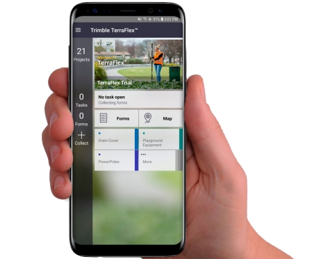
Trimble announced its Trimble® TerraFlex™ field software now supports remote feature capture with Laser Technology, Inc. (LTI) TruPulse® 200 series and 360° series laser rangefinders.
The solution enables easy, accurate and safe capture of Geographic Information System (GIS) features in locations that are physically inaccessible, hazardous and in challenging Global Navigation Satellite System (GNSS) environments.
“Assets in places such as a busy roadway or under dense tree canopy can make it difficult for users to capture location information accurately, safely and efficiently. The TruPulse series laser rangefinders enable users to accurately measure these assets without having to physically occupy the location”
Derrick Reish, senior product manager at LTI
The new TerraFlex feature extends the reach of Trimble GNSS solutions when paired with the TruPulse laser rangefinders. These include the Trimble TDC150 high-accuracy GNSS handheld or the Trimble TDC600 handheld running the Trimble Catalyst™ on demand positioning service.
“Embedding this functionality directly into the TerraFlex app simplifies the offset mapping workflow and enables users to accurately capture features in more places. This release represents the continuation of Trimble and LTI working together to support laser rangefinder technology in Trimble GIS software solutions”
Rachel Blair Winkler, business area manager for Trimble Mapping & GIS Solutions
Availability
Trimble TerraFlex is available online at geospatial.trimble.com/terraflex or through Trimble’s Authorized Geospatial Distribution channel. LTI TruPulse 200 series and 360 series laser rangefinders are available through LTI’s authorized dealer channel. For more information, visit: www.lasertech.com/TruPulse-Laser-Rangefinder.