The MundoGEO web portal has now five content channels: Environmental, Cities, Space, Drones and Geospatial Technologies, as the latter has been subdivided in Geoprocessing, Remote Sensing and Positioning.
We have involved in the concept of Geotechnologies the several terrestrial, aerial and orbital platforms of data collecting, as well as the processing, analysis and sharing of information for decision-making in diverse verticals.
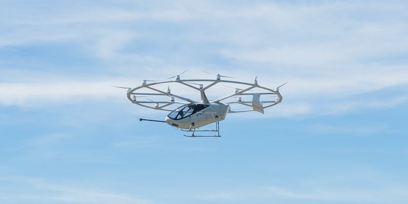
We understand Drones as a disruptive technological platform with applications in agriculture, forestry, infrastructure, environment, natural resources, safety, civil construction, territorial management, among others.
Our approach for Cities involves the use of technologies for mapping and registration of urban soil and serving as basis to support the implementation of municipal management systems as the concept of Smart Cities.
In the Environmental area, our focus is to disseminate the monitoring technologies, projects and initiatives of the soil use and cover in the Brazilian biomes which generate subsidies to tackle deforesting and illegal burn and to promote good agricultural and forestry practices, contributing to the sustainable management and nature conservation.
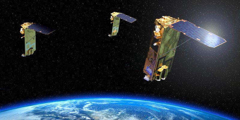
In the Space sector, aligned with the global trends, our aim is to disseminate to the society the several benefits of this sector and the importance of Brazil occupying a distinguished position in the spatial supply chain, besides showing to the private sector trade opportunities of this industry aiming to attract new investments.
Thus, we are broadening our purpose of cascading knowledge, promoting reflections, connecting professionals and contributing with the strengthening of these sectors, generating daily content and organizing online and face-to-face events, like the MundoGEO Connect and DroneShow.


