Vexcel Imaging announces the release of UltraMap version 5.0, the latest update of its all-in-one aerial photogrammetry software featuring comprehensive DTM generation and full integration of Ortho Production in UltraMap Studio.
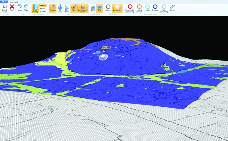
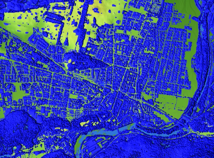
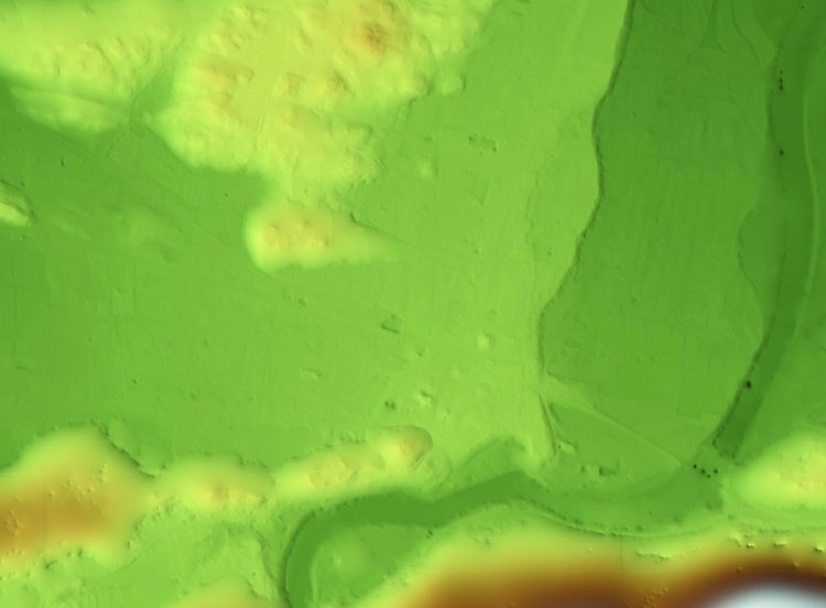
With the introduction of a completely new Digital Terrain Model (DTM) algorithm based on automatic semantic image segmentation and intelligent filtering, UltraMap 5.0 now generates comprehensive DSMs and DTMs for export at unprecedented quality. Additionally, several new features have been implemented to facilitate and speed up the data production process. From simultaneous DSM and DTM editing in one interface and simple re-processing for ortho products, to the full integration of Ortho Production in UltraMap Studio and new quality control tools like visualization of non-ground objects: Customers gain the best possible insight and control over their data throughout the entire value chain to create 3D spatial data products that meet the highest photogrammetric standards.
“The team redeveloped the way we create DTMs from the ground up. The results of these fully automatically created models are very impressive. This is a big step forward for our customers who will greatly benefit from these enhancements”
explains Alexander Wiechert, CEO of Vexcel Imaging
Key Features
General: Increased efficiency through inherently higher quality.
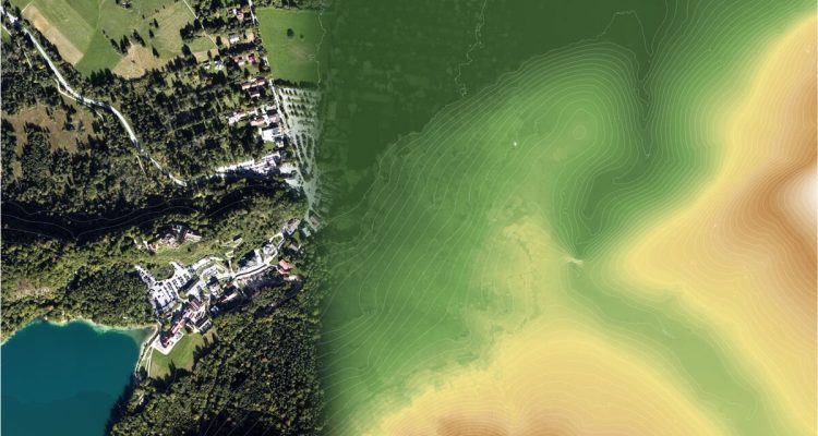
Comprehensive DTM generation
Smart derivation of DTM from DSM
- New DTM filter algorithm based on semantic image segmentation
- Optionally preserve detected bridges in the DTM
DTM Editing
- Simultaneous DSM & DTM editing in one interface
- Simple reprocessing of DTM Ortho tiles after DTM edits
- Import and merge selected regions of DTMs from external sources
- Visualization of non-ground objects to simplify QC of the DTM
DTM Export
Full integration of Ortho Production in UltraMap Studio
Workflow from Level-2 to all ortho products fully traceable in UltraMap Studio
Simplified re-processing for ortho products
- Process arbitrary subsets of a project within the same UltraMap Studio workflow
- Easily create different variants of a DSMOrtho/DTM/DTMOrtho from the same DSM
Generation of color balancing masks based on semantic image segmentation helps drive down manual interaction
Import and export vector data in GeoJSON format where previously only Shapefiles were supported
New download settings in UltraMap RawDataCenter to support high performance storage systems.
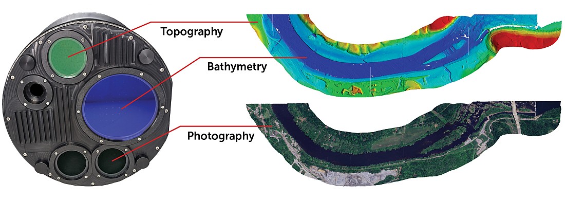
Support for all UltraCam systems, including UltraCam Osprey 4.1.
About Vexcel Imaging
Vexcel Imaging, a leader in the geospatial industry, develops cutting-edge large-format aerial cameras, mobile mapping systems and photogrammetric software with innovative approaches, and places an emphasis on continuing product upgrades and world-class support. The broad UltraCam aerial camera portfolio covers all applications in airborne photogrammetry — from nadir to oblique to wide-area data collection. UltraCam data is processed with the UltraMap photogrammetry software, providing an end-to-end processing workflow for highly automated, quality data products that include point clouds, digital surface and terrain models, orthophotos and 3DTINs. Learn more about Vexcel Imaging under www.vexcel-imaging.com.