For the first time in history, vegetation encroachment risk to the entire publicly available U.S. transmission grid has been analyzed from space by the Berlin-based start-up LiveEO.
The goal of this large-scale analysis was to demonstrate LiveEO’s market-leading analytic capabilities to a North American audience. In total, over 15,000 public satellite images were used to evaluate risk to 574,000 miles of electricity lines. (Details about the analysis can be found at www.live-eo.com/us-power-transmission-grid-analysis).
The analysis covers the detection of vegetation along the transmission grid, as well as the identification of grid segments that are exposed at dangerously close distances. These are some of the biggest challenges and operational cost factors for utility companies in maintaining their assets. Proven by studies vegetation is one of the main challenges for utilities globally, causing up to 56% of externally triggered power interruptions. In the United States alone, approximately US$ 6 billion is spent on vegetation management by utility companies annually.
“The scale combined with the detail of the analysis represents a milestone in satellite data analytics for utility companies and proves that satellite data represents a viable alternative for vegetation management to Lidar or foot patrols.” says LiveEO’s Co-Founder Daniel Seidel.
“Additionally, these insights can be made actionable directly via our tool set of mobile and web apps, and API integrations to improve workforce efficiency in the field and to realize OPEX saving,” adds LiveEO’s other Co-Founder Sven Przywarra.
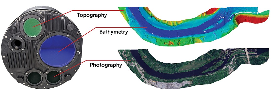
Besides the sole detection of vegetation distance from transmission grids, LiveEO is experienced in highly accurate and efficient investigations of vegetation height, condition, and species determination to improve cycle trimming activities and dangerous tree removal while reducing vegetation management costs on transmission and distribution levels. Additionally, LiveEO is already helping utility companies to identify wildfire risk areas and inspect post-wildfire areas with high precision for fast recovery activities.
With multiple utility and infrastructure customers in North America, Europe, and Australia, LiveEO has proven its capabilities in numerous pilot projects and large-scale deployments on the scale of entire countries.
To strengthen contact with its customers by physical presence, LiveEO opened an office and subsidiary on the East Coast of the U.S. in late 2020.
LiveEO offers a sample analysis using commercial satellite data of their network free of charge for utility customers.