
Pix4D, the major player in mobile and drone mapping, is pleased to announce that it will be hosting its flagship conference at the pop-culture themed The Curtis hotel in Denver, Colorado on 13 October 2022. The agenda includes 3D modeling and photogrammetry expert guest speakers, personal consultations, networking opportunities, the latest from key players in mapping hardware, and how Pix4D technology is changing the way industries including construction, inspection, agriculture, and public safety are using digital models in their everyday workflows.
This will include discussing the fast adoption of digital twins, the accessibility of modern hardware, and the challenges of different industries during various sessions. The new terrestrial mapping solution for mobile phones, the viDoc RTK rover – combining single point measurement, photogrammetry, and LiDAR with centimeter accuracy – will also be exhibited with hands-on live demonstrations. Thanks to presentations by thought leaders in 3D modeling, attendees will share ideas with other innovators and go home with insightful tips and tricks on how to get the best out of mapping technology. Sessions range from beginner to advanced, so everybody is welcome to take their mapping knowledge to the next level.
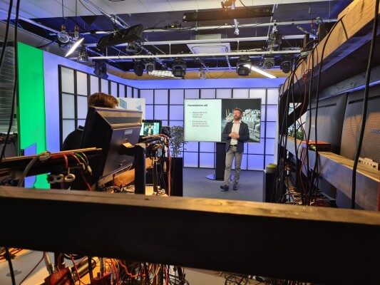
“More than 60% of employees in Pix4D work in R&D, and this has allowed us to put innovation first. The Pix4D User Conference is a great window for us to share what we have been working on, exchange ideas and welcome feedback from industry professionals who have always played an active role in the development of our solutions.”
Christoph Strecha, CEO of Pix4D
The Pix4D Conference was first hosted in 2019 in Denver and the 2021 meetup took place online with over 4,000 registrants worldwide. The 2022 Pix4D Conference in Denver will be hosted at pop-culture themed The Curtis hotel, with a training session about its next-generation software for large scale mapping and fast vectorization, PIX4Dmatic and PIX4Dsurvey on October 12th and the main event on October 13th. Surveyors, GIS experts, 3D modeling enthusiasts, and people passionate about photogrammetry are all welcome to attend, regardless of being a Pix4D user.

About Pix4D
Pix4D (pix4d.com) develops cutting-edge software and hardware that converts images taken by hand, drone, or plane into accurate and georeferenced survey-grade 2D mosaics, 3D models, and point clouds. Founded in 2011, Pix4D is rapidly expanding from its headquarters in Lausanne, Switzerland, to offices in Berlin, Madrid, Bucharest, Denver, Shanghai, and Tokyo.
Pix4D is best known for PIX4Dmapper, the industry-leading photogrammetry software for drone mapping, and other software solutions like PIX4Dfields for agriculture, PIX4Dreact for emergency response, PIX4Dcloud for online drone mapping, progress tracking, and site documentation, PIX4Dinspect for automated industrial inspection and asset management, PIX4Dmatic for large scale or terrestrial mapping and PIX4Dsurvey for efficient terrain modeling and vectorization.
Pix4D is the exclusive distributor of the viDoc RTK Rover worldwide.