Geospatial Technologies Fugro and Autodesk unveil game-changing software integration for smarter, safer construction
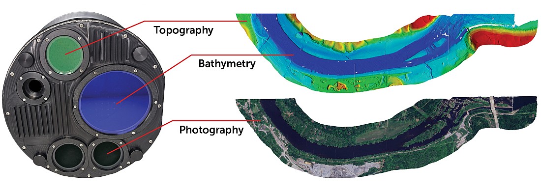
Geospatial Technologies Teledyne Geospatial presents an exclusive preview of its new coastal mapping solution
Geospatial Technologies FOSS4G 2024 will be held for the first time in Latin America, in Belém, Brazil
Geospatial Technologies Hexagon releases new on-demand geospatial data products on HxDR and integration with GIS applications
Geospatial Technologies Bentley Systems increases investment in OGC and reinforces commitment to Open Standards following Cesium acquisition
Geospatial Technologies Golden Software Enhances Surfer Mapping and 3D Visualization Package with Map Templates and Online Image Access
Geospatial Technologies The Power of Geospatial Intelligence will be the theme of MundoGEO Connect 2025
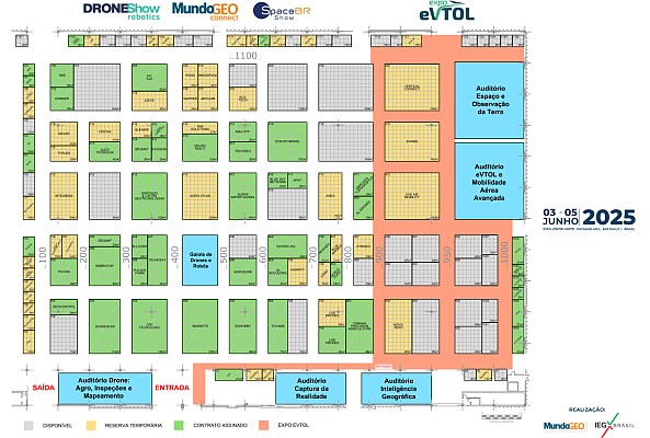
FEIRA MundoGEO 2025 already has 40% of stands sold and 30% reserved 30 days after this year’s exhibition
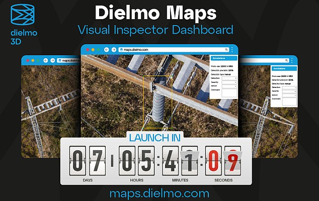
Geospatial Technologies Launch: Dielmo Maps, SaaS Platform for High-Resolution Geospatial Data Processing
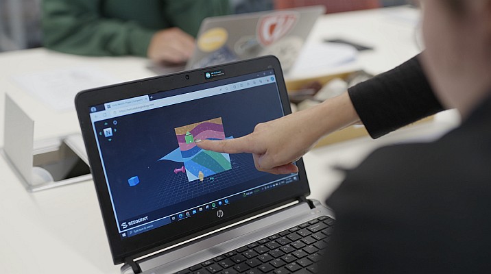
Geospatial Technologies Seequent launches free web app to help combat global shortage of earth scientists
Geospatial Technologies 7 technologies to assist in the recovery and prevention of areas affected by floods
Geospatial Technologies Latest Surfer Mapping and 3D Visualization Package Gives Users Comprehensive View of Subsurface Data