Geospatial Technologies Fugro and Autodesk unveil game-changing software integration for smarter, safer construction
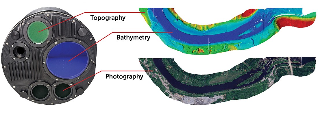
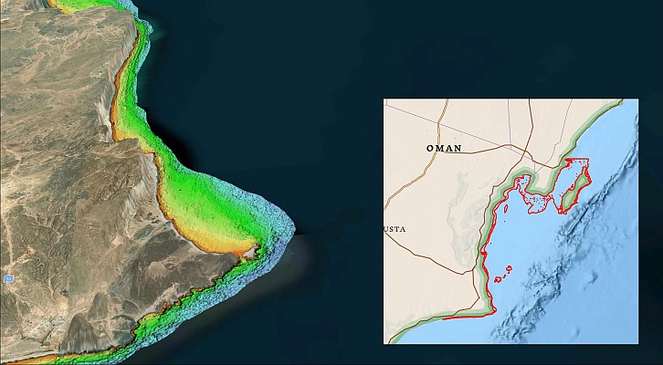
Geospatial Technologies Teledyne Geospatial presents an exclusive preview of its new coastal mapping solution
Geospatial Technologies Quanergy Solutions Introduces Q-Vision F540: A Revolutionary 3D LiDAR Sensor for Industrial Applications
Geospatial Technologies u-blox and Topcon Positioning Systems partner to offer comprehensive GNSS positioning services
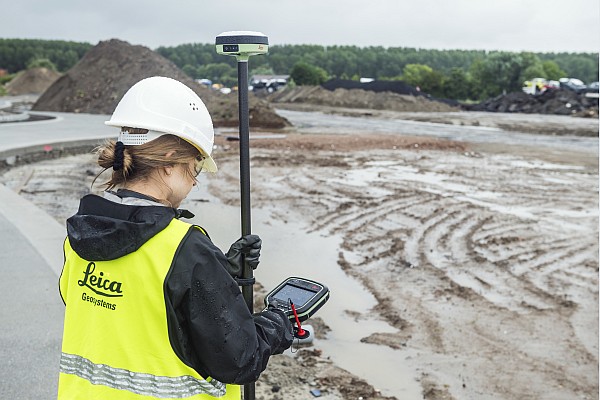
Geospatial Technologies Leica Geosystems launches lightweight GS05 GNSS Smart Antenna with tilt compensation
Geospatial Technologies Hexagon releases new on-demand geospatial data products on HxDR and integration with GIS applications
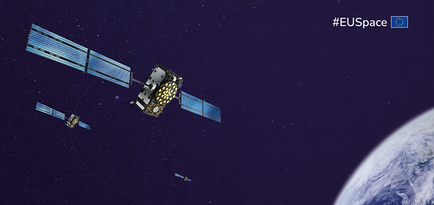
Geospatial Technologies New Galileo Satellite Integrated into Constellation, Enhancing Global Positioning Accuracy
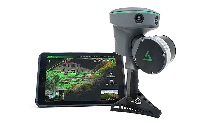
Geospatial Technologies GeoCue Launches TrueView GO – Expanding Its Portfolio with Advanced Handheld Mapping
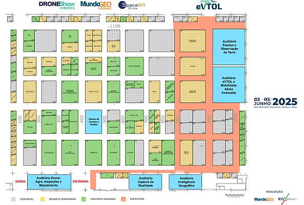
Geospatial Technologies The Power of Geospatial Intelligence will be the theme of MundoGEO Connect 2025
FEIRA MundoGEO 2025 already has 40% of stands sold and 30% reserved 30 days after this year’s exhibition