GNSS and Positioning
Hexagon app wins UX Design Award
GNSS and Positioning
Geoprocessing and GIS
Maptek and LlamaZOO bring the mine to brilliant life
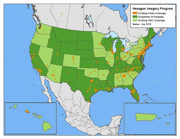
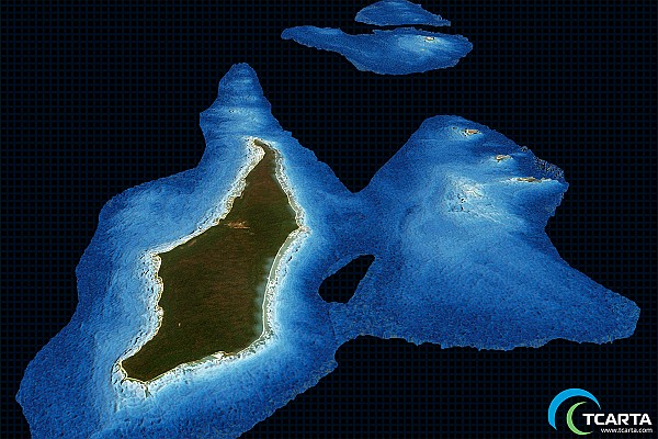
Geoprocessing and GIS
Hexagon expands Content Program to increase coverage, access of airborne imagery
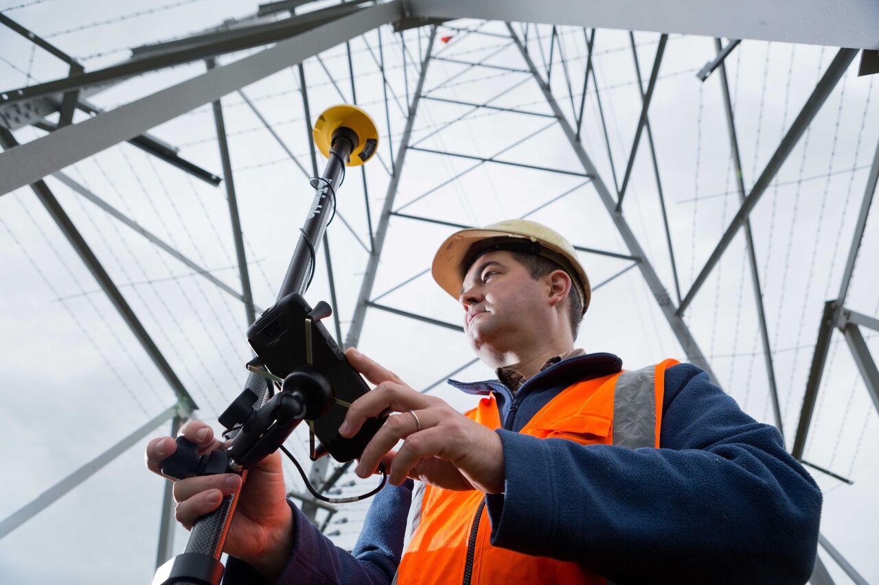
Geoprocessing and GIS
Maptitude: New 2018 Country Packages for the USA, Brazil, Mexico and more
GNSS and Positioning
Hexagon introduces 3D laser scanner with automatic in-field pre-registration
GNSS and Positioning
New Leica iCON construction total stations provide efficient layout solution
Geoprocessing and GIS
HIPS and SIPS 11.0 Simplifies Bathymetric Processing Workflow
Geoprocessing and GIS
Satellite Derived Bathymetry Data for Hydrocarbon Exploration Project
GNSS and Positioning
Trimble Announces New Field Solutions for Land and Construction Surveying
GNSS and Positioning
New SR3 underground laser scanner from Maptek
Editorials
Webinar Schedule