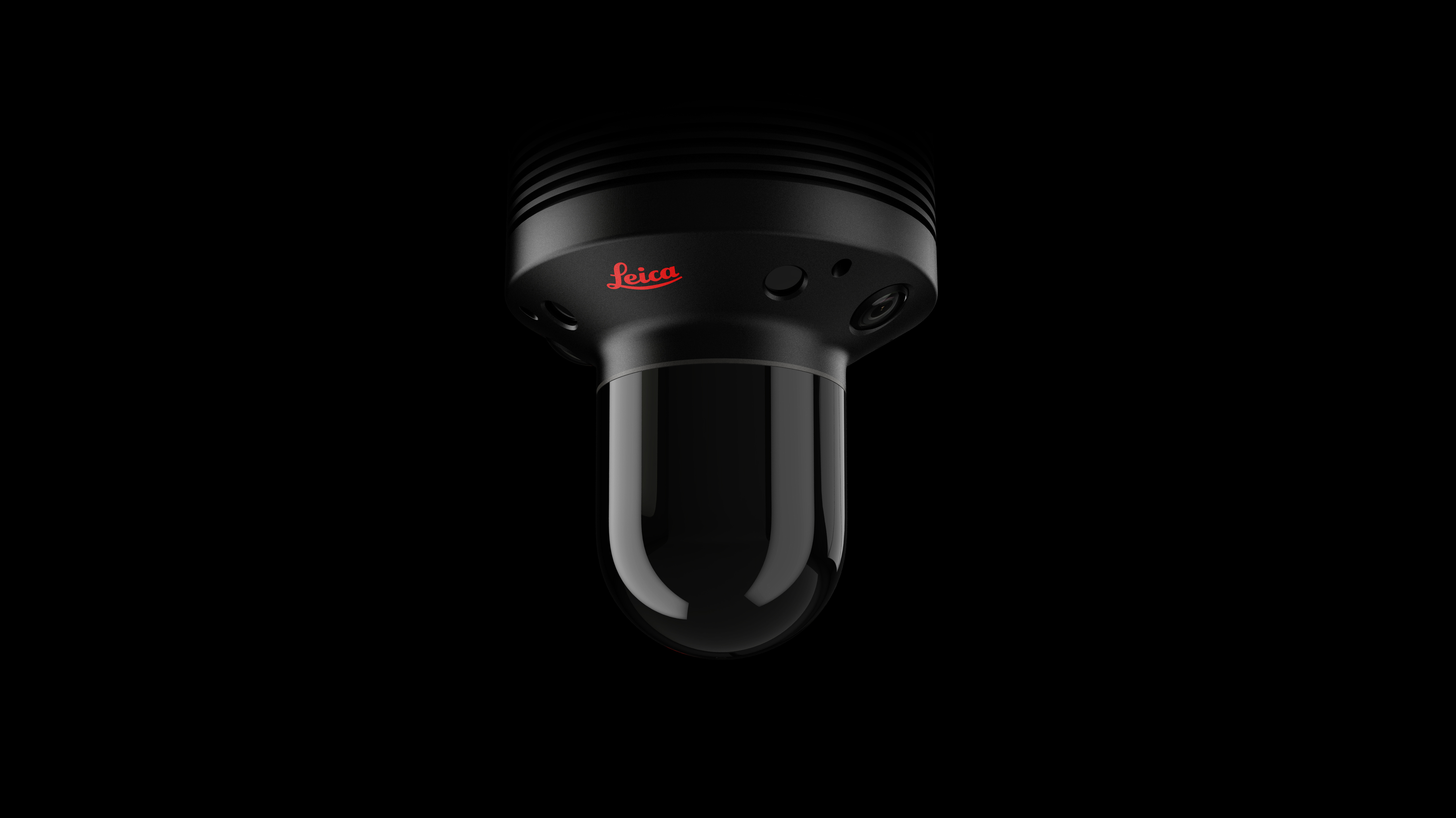
News - GNSS and Positioning Leica Geosystems BLK247 Wins Security Industry Association’s Best New Product Award
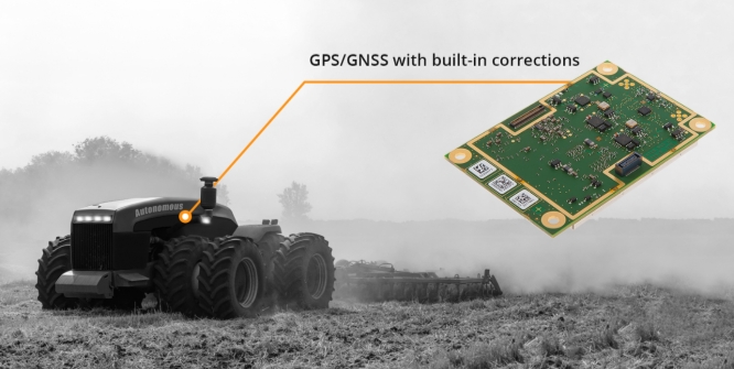
News - GNSS and Positioning ProStar Joins Trimble’s GIS Business Partner Program to Define the Next Generation of Utility Mapping
News - Geoprocessing and GIS Esri and Facebook Collaborate to Release New OpenStreetMap-Ready Datasets
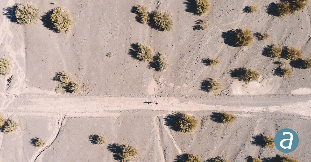
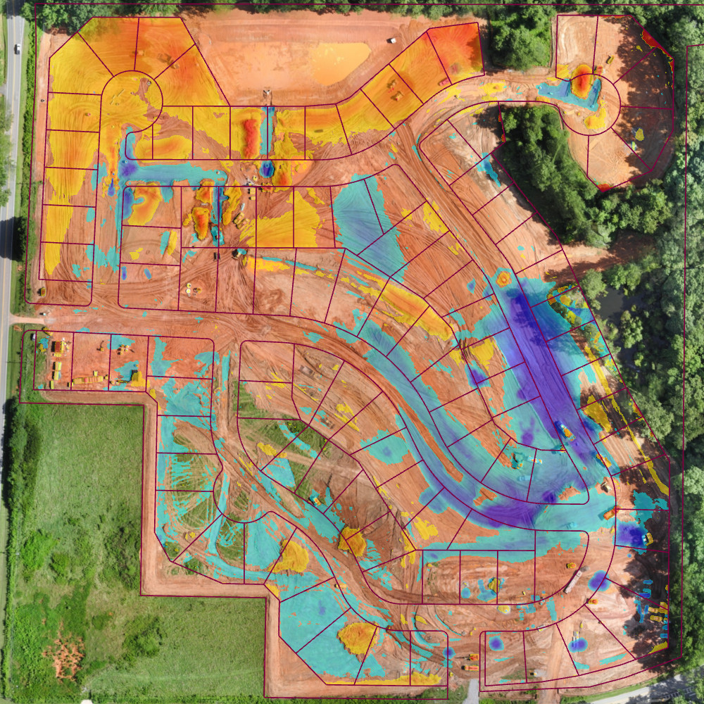
Drones and Robotics Virtual Surveyor Drone Surveying Software Simplifies Workflow for Earthworks Monitoring at Construction Sites
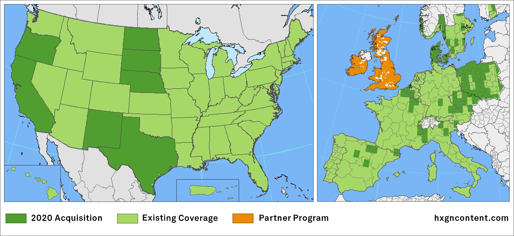
News - Remote Sensing HxGN Content Program updates 3 million square kilometres of aerial data in U.S., Europe in 2020
News - GNSS and Positioning TDC Joins Trimble’s GIS Business Partner Program to Empower Mobile GPS Workflows
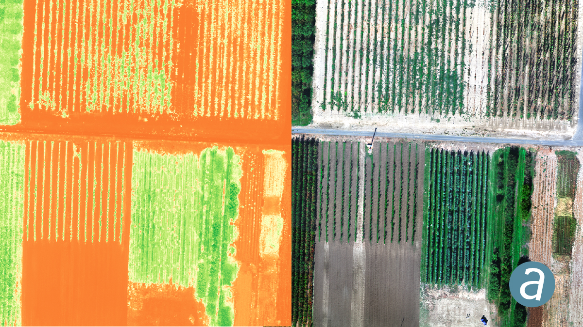
News - Remote Sensing SimActive Introduces Cloud Sharing and Reflectance Calibration with New Version 8.5
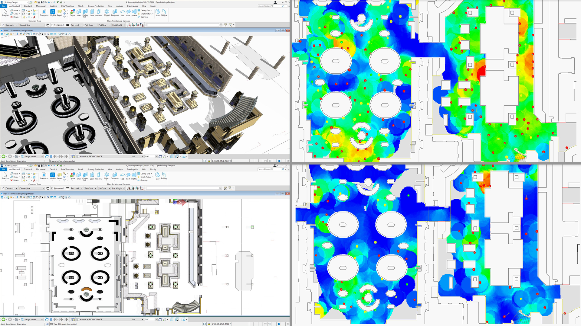
News Bentley Systems Announces the Acquisition of NoteVault, Provider of Voice-based Field Automation for Construction Management
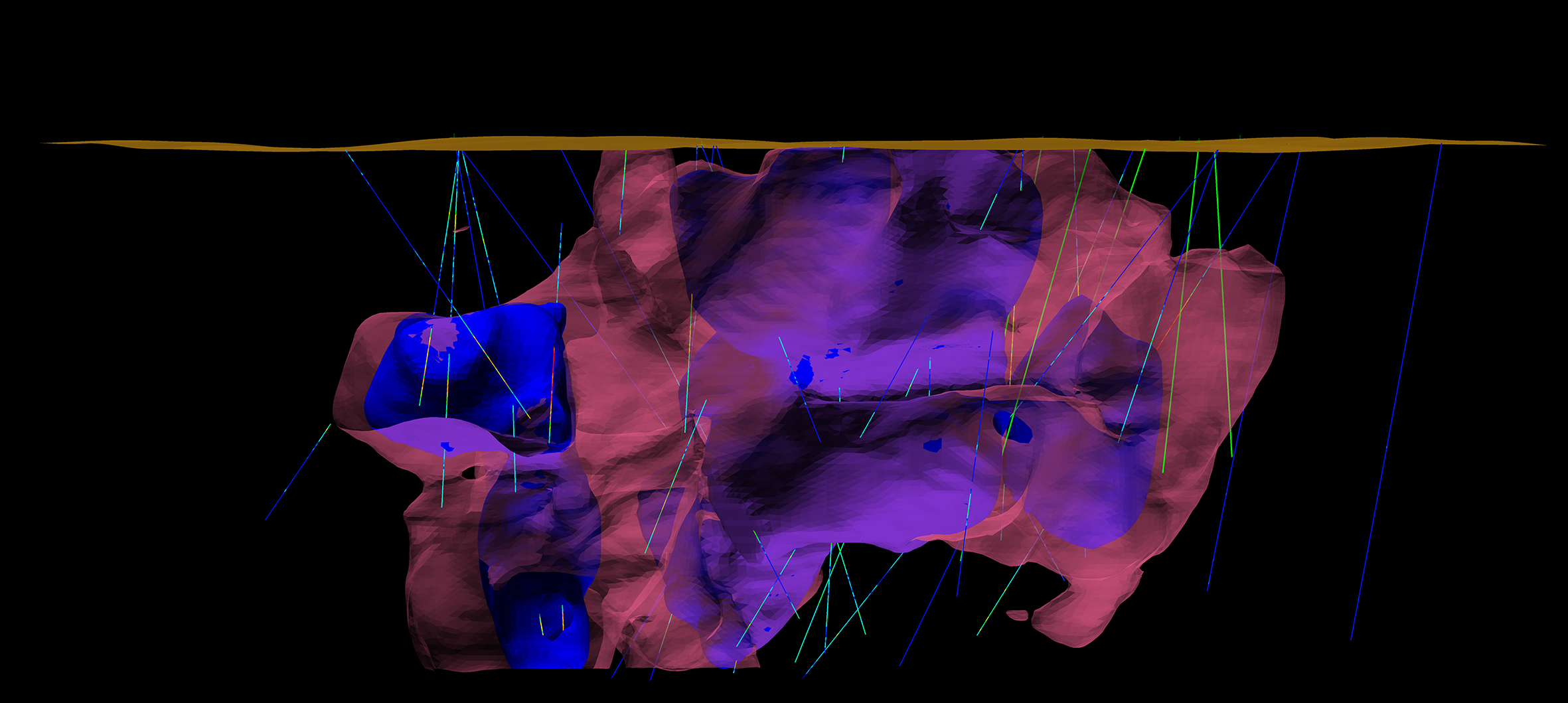
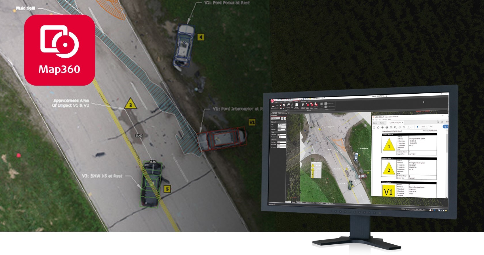
Drones and Robotics Leica Map360 v4.0 introduces three editions to digitize and document any crash or crime scene