News - GNSS and Positioning Fugro supports two ocean mapping initiatives with large crowd sourced bathymetry contribution
Drones and Robotics Brazil’s Civil Aviation Authority Approves senseFly Drones for Country’s First-Ever BVLOS Operations
News - Remote Sensing Airbus and Orbital Insight launch Earth Monitor to provide geopolitical and economic insights
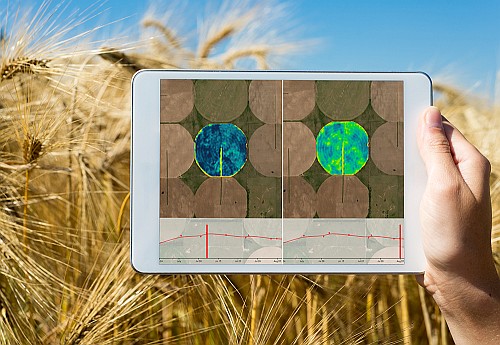
News Airbus and The Climate Corporation join forces to empower farmers with reliable satellite imagery
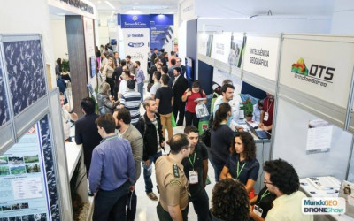
Drones and Robotics Great domestic and international brands will be present in DroneShow and MundoGEO 2019 fair