Geospatial Technologies
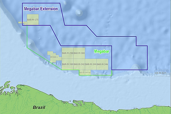
Viridien and TGS Announce Megabar Extension Phase I Multi-client Project Offshore Brazil
3d
Geospatial Technologies
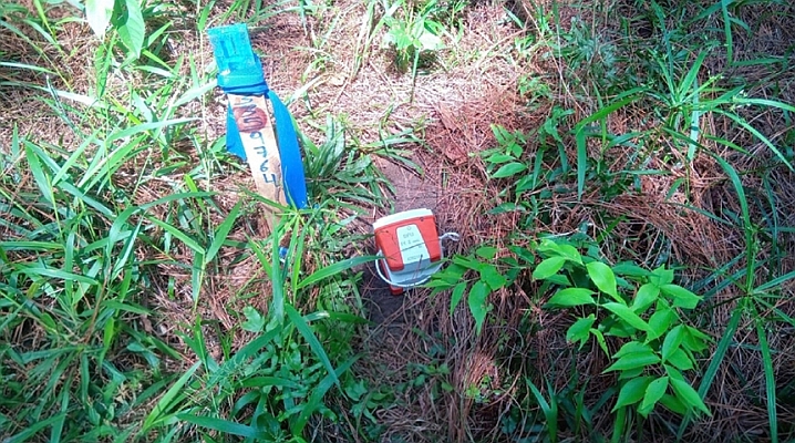
Sinopec deploys 65,000 Sercel land nodes for complex 3D survey in Mexico
Geospatial Technologies
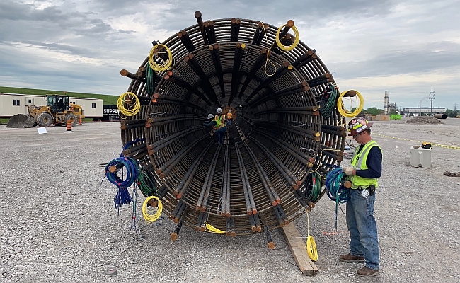
Fugro supports earthquake-resilient bridge design in US Pacific Northwest
Geospatial Technologies
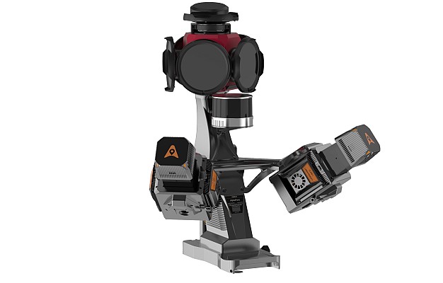
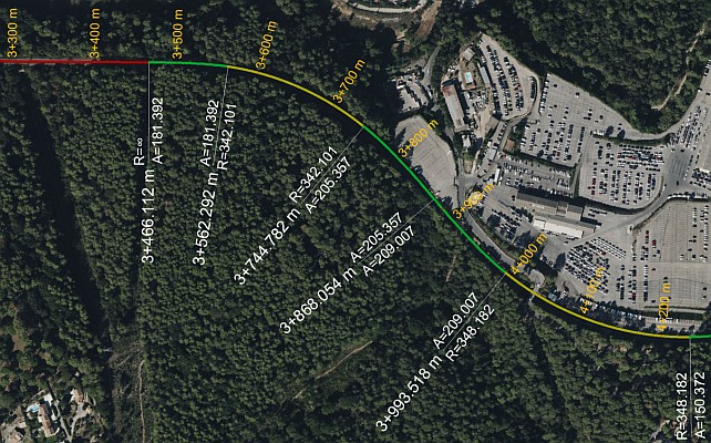
Automated Track Geometry Analysis with 3D LiDAR: A Game-Changer for Railways
Geospatial Technologies
Mapbox and Hyundai AutoEver Show AI-Driven 3D Navigation and Voice Experience
Geospatial Technologies
Teledyne Geospatial and Pointerra3D announce partnership to revolutionize grid management
Drones and Robotics
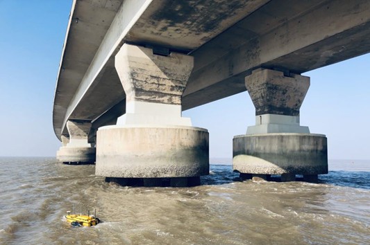
3D Bathymetry via Unmanned Surface Vehicle
Geospatial Technologies
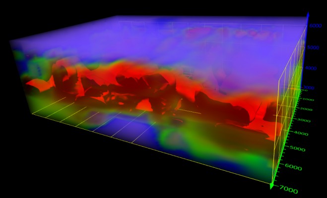
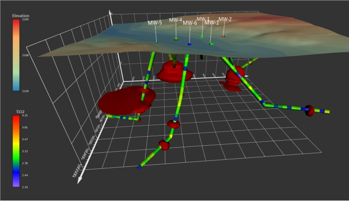
Golden Software Unveils 3D Drillhole Visualization in Surfer Surface Mapping Package
News - GNSS and Positioning
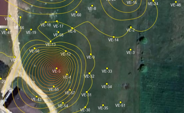
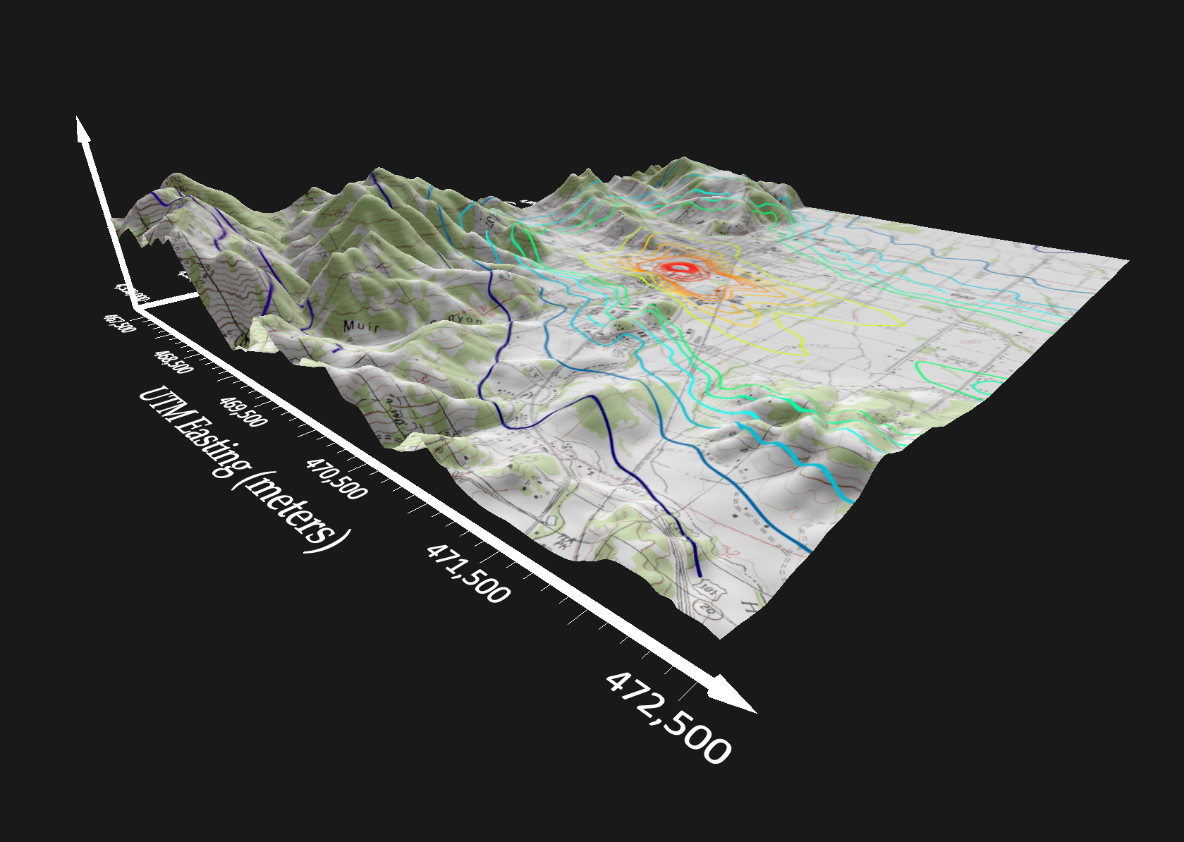
Golden Software Simplifies Surfer Workflows for Faster Gridding
Editorials
Live Schedule


