Geospatial Technologies
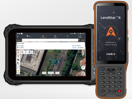
CHC Navigation launches the version 8 of its Landstar Field Data Collection Software
chcnav
Drones and Robotics
CHCNAV P330 Pro UAV Photogrammetry used in City Planning
Editorials
Live Schedule


