

Surveying and mapping are an important foundation for national economic development. Accurate knowledge of the spatial configuration of a territory and information about its attributes is essential for decision-making.
The development of drone photogrammetry technology has brought tremendous change to the geospatial industry. Surveyors no longer need to spend a lot of time and effort on field operation, as accurate information can be obtained through drone, with results that are even superior to the traditional operations.
From a financial point of view, the use of the drones has significantly improved the return on investment. UAV photogrammetry has gradually become a common measurement method due to its convenience, high accuracy and low cost.
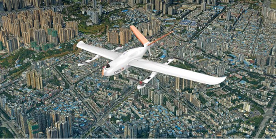
In a constantly evolving urban environment, the use of the CHCNAV P330 Pro VTOL drone contributes to sustainable city planning.
Guilin, in China’s Guangxi province, is an important tourist city. In order to have up-to-date data on the evolution of local topography, landforms, houses, roads and other attribute information, the local government have to conduct a comprehensive survey of the entire area every six months.
Read the case study to learn how the P330 Pro supports urban planning projects and the benefits it brings to customers: https://chcnav.com/about-us/news-detail/p330-pro-uav-photogrammetry-used-in-city-planning.