Drones
Space
eVTOL
Geointelligence
Newsletter
WhatsApp
Exhibitions
DroneShow Robotics
MundoGEO Connect
SpaceBR Show
Expo eVTOL
Exhibitors
Lives
Videos
Webinars
About Us
Social Networks
database
Geointelligence
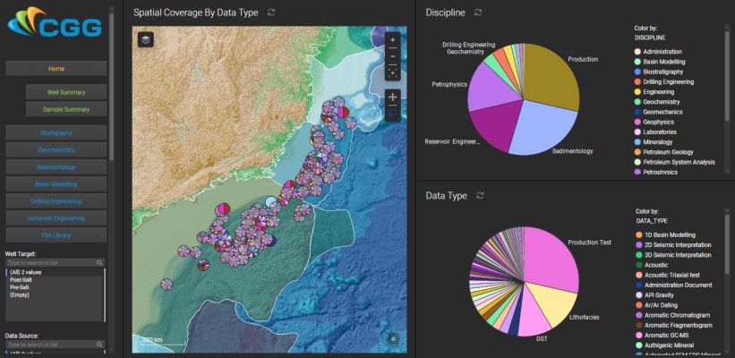
CGG Releases New GeoWells Database for Brazil
News
Taeyoung Information Systems selects SuperGIS Desktop to process geospatial data
News
Geo-matching.com Database Exceeds 1.000 Products
News
OGC announces Common DataBase Best Practice
News
TopoView – explore, view, download more than 178,000 USGS legacy topo maps
News
Blue Marble Geographic Calculator 2014 SP1 now available
News
Hexagon acquires North West Geomatics
News
Airbus Defence and Space signs contract to mapping solution to Pasco
News
IBGE maps surface and ground waters in the Northeast Region
News
OpenStreetMap’s growth accelerates
News
Open source database PostgreSQL 9.1 released
News
GIS Technology plays important role to improve the wine industry
News
Central America launches its database of weather
News
SuperPad 3 selected by Rancang Bistari in Malaysia
News
SuperWebGIS designs Eco-cultural web-GIS for environment navigation
News
Check the complete schedule of MundoGEO# Connect’s seminar “Geo-spatial Databases”
News
ArcGIS users gain wider spatial data access with FME 2011
News
Alterra Institute uses TatukGIS DK to develop biodiversity information system
News
Navteq launches 3D developer toolkit from Visioglobe
Editorials
Drones
eVTOL
Geointelligence
Space
Live Schedule
08 October 2026 - 17h00
Métodos de Batimetria: Qual Escolher? + Lançamento do Rama 3
06 October 2026 - 16h00
ABDrone: Marco geral do setor de Drones no Brasil – desafios e oportunidades
29 September 2026 - 16h00
Construção de uma Política Nacional de Mobilidade Aérea Avançada
24 September 2026 - 16h00
Transforme seu DJI Matrice 4 em um SLAM de alto rendimento
Video
2026 Feira/Exhibition MundoGEO Connect | DroneShow | SpaceBR Show | Expo eVTOL
Sign up for our newsletter
Enter your email
Invalid Email
Calm down, we will not share with any third parties.
Confirm Subscription