Geospatial Technologies
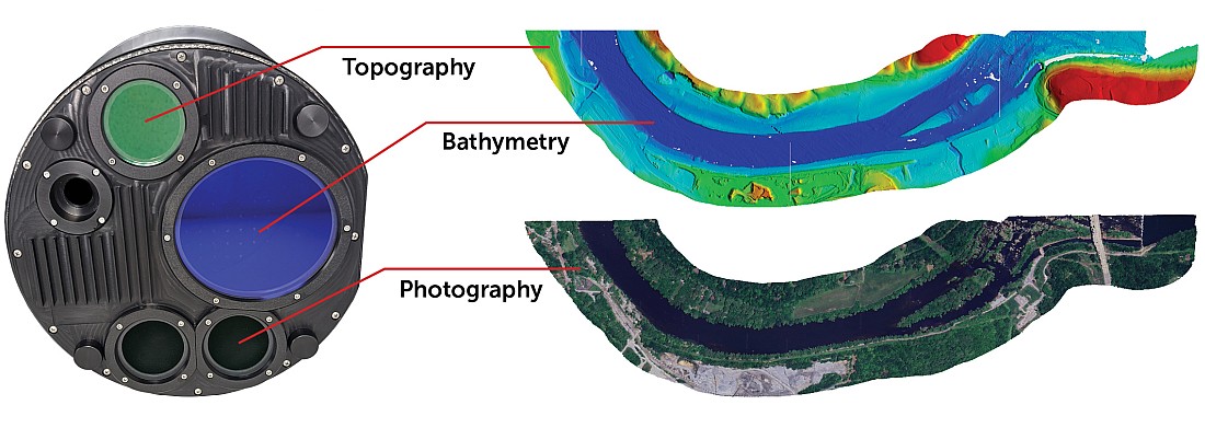
Teledyne Geospatial presents an exclusive preview of its new coastal mapping solution
geospatial
News - GNSS and Positioning
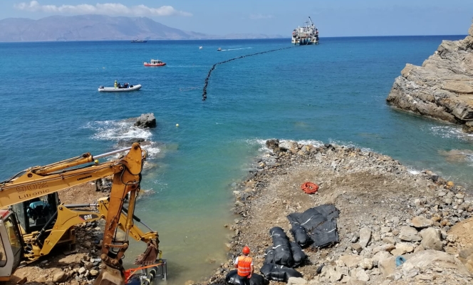
World’s Longest and Deepest Alternating Current Cable Route Surveyed with Spectra Geospatial SP60
News - Geoprocessing and GIS
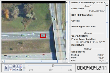
PAR Government Systems Introduces Commercial Version of GV3.0 Geospatial Viewing Application
Drones and Robotics
Events MundoGEO#Connect and DroneShow 2016 gather 3.200 participants
Drones and Robotics
DroneShow and MundoGEO#Connect 2016 together in Sao Paulo for a huge event
Editorials
Live Schedule


