Geospatial Technologies
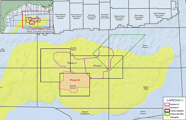
Viridien and TGS commence Phase III of next-generation Laconia sparse OBN program in US Gulf
Map
Geospatial Technologies
Gel Map confirmed at MundoGEO Connect 2025
Geospatial Technologies
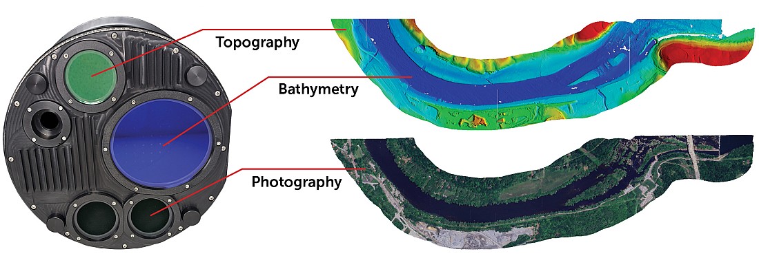
Teledyne Geospatial presents an exclusive preview of its new coastal mapping solution
Geospatial Technologies
Overture Maps Foundation Releases Beta of Its First Open Map Dataset
News - Remote Sensing
Elevate your performance with UltraMap 5.0
News - GNSS and Positioning
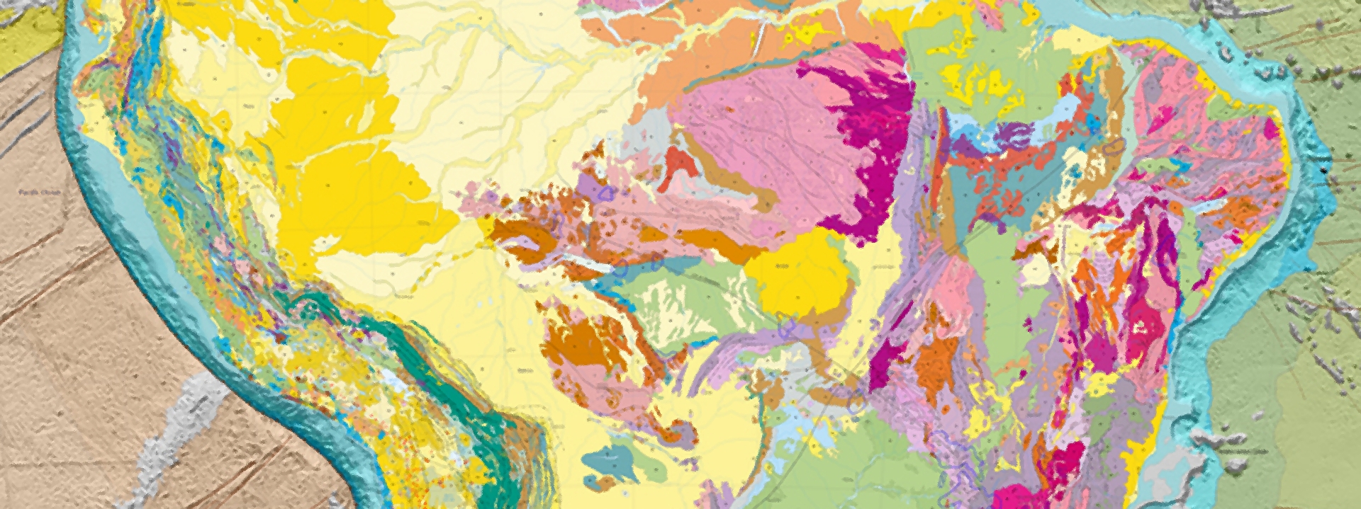
New edition of the Geological Map of South America
Drones and Robotics
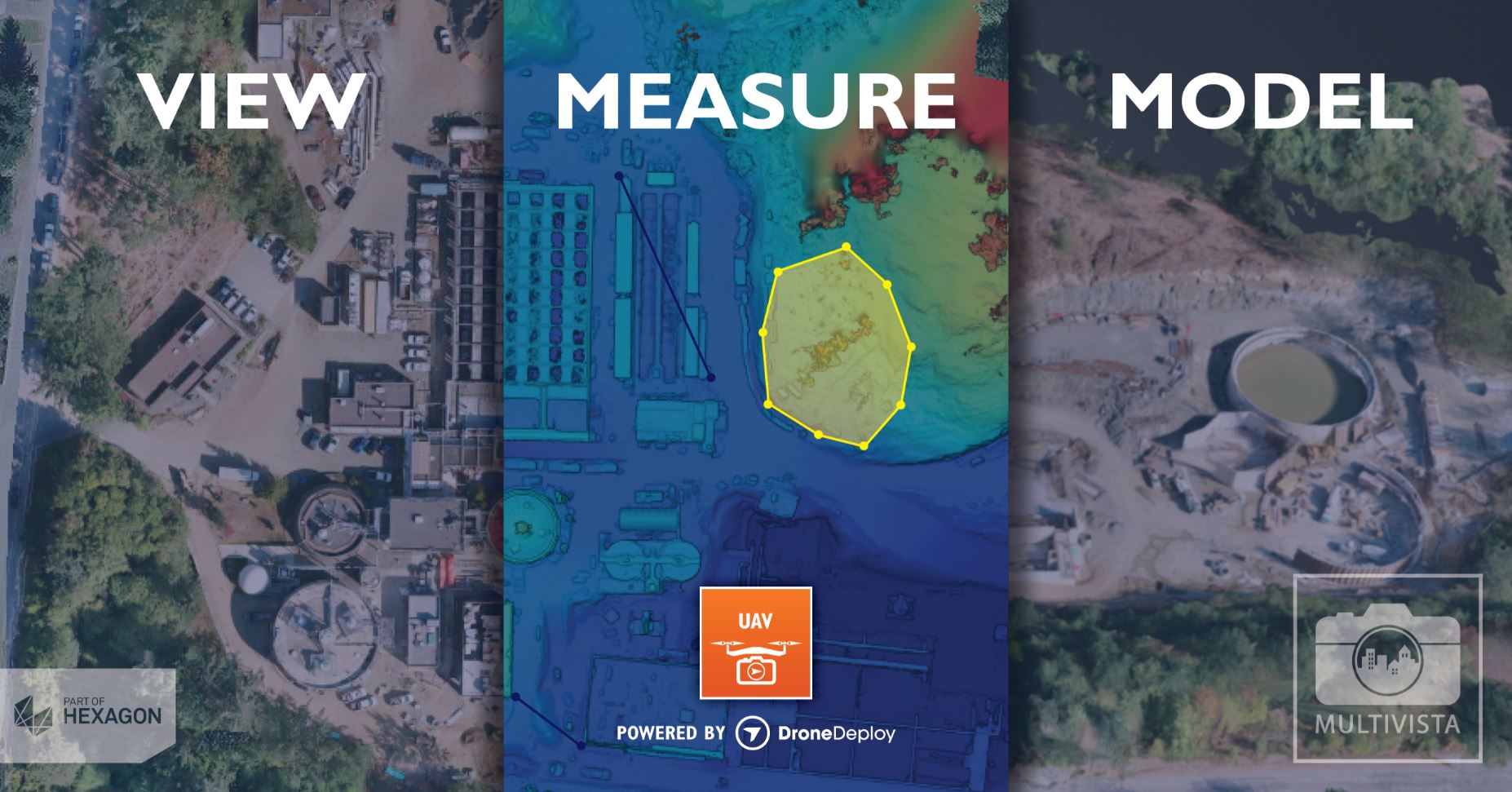
Multivista Announces DroneDeploy Partnership, Advanced UAV Mapping Services
News - Remote Sensing
E-Capture launches 3D Tablet for Architects and Archaeologists
Editorials
Live Schedule


