simactive
Geospatial Technologies
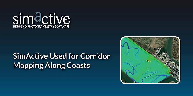
SimActive Used for Corridor Mapping Along Coasts
Geospatial Technologies
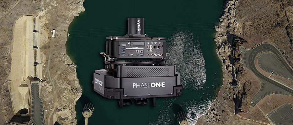
SimActive Implements New Workflow for Phase One 280MP Aerial System
Drones and Robotics
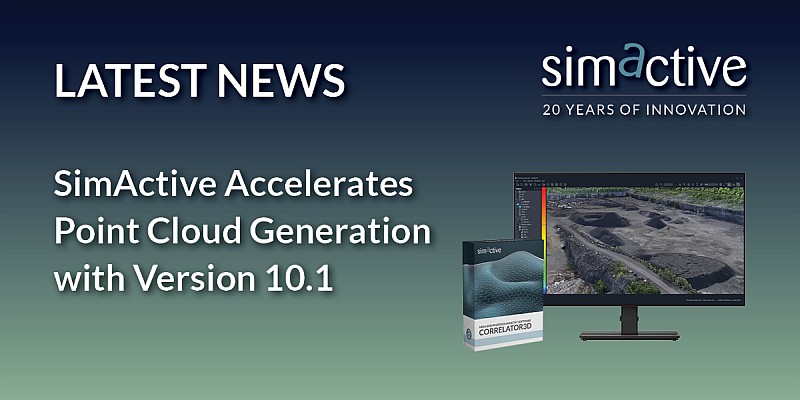
SimActive Accelerates Point Cloud Generation with Version 10.1
News - Remote Sensing
SimActive Introduces Cloud Sharing and Reflectance Calibration with New Version 8.5
News - Remote Sensing
SimActive Speeds Up Stockpile Measurement with Drones
Drones and Robotics
SimActive Announces New Drone Training Program for Mapping
News - Remote Sensing
SimActive Releases Version 8.2 for Processing of Multispectral Imagery
News - Remote Sensing
SimActive software used for large-scale photogrammetry project
Drones and Robotics
SimActive and Tianlifa Launch Integrated UAV Solution
Drones and Robotics
SimActive Launches Subscription UAV Software
Drones and Robotics
US Army Corps of Engineers Selects SimActive for Drones
Editorials
Live Schedule


