Geospatial Technologies
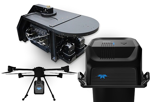
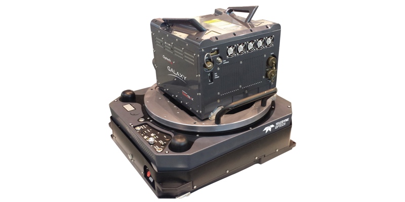
Teledyne Geospatial to showcase extensive range of lidar solutions
teledyne
Geospatial Technologies
Teledyne Geospatial and Pointerra3D announce partnership to revolutionize grid management
Geospatial Technologies
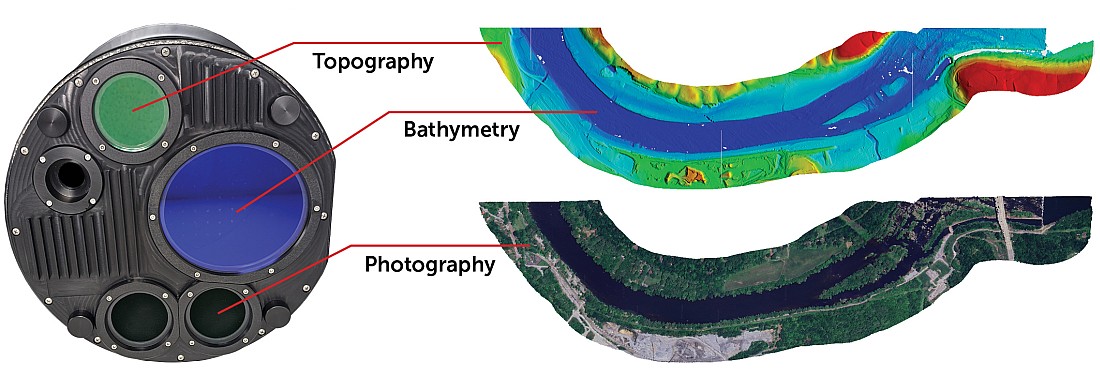
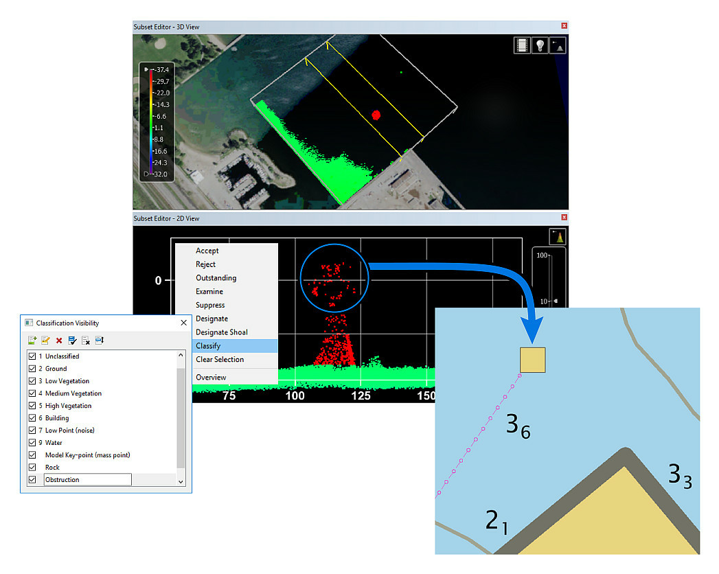
Teledyne Geospatial presents an exclusive preview of its new coastal mapping solution
Geospatial Technologies
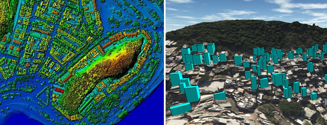
Topocart maps Brazil’s expanding cities using Teledyne Galaxy PRIME+
Geospatial Technologies
Fototerra expands its fleet of airborne lidar mappers with an additional Optech Galaxy system
Editorials
Live Schedule


