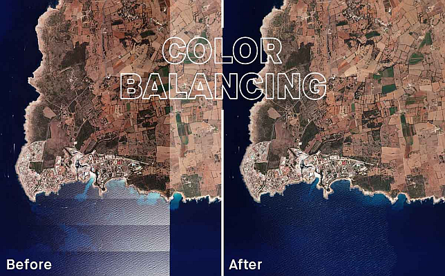
Geointelligence Next-level color balancing in UltraMap: how to achieve more homogeneous aerial imagery
Geointelligence Tech Talk on UltraMap & UltraCam Merlin: A perfect combination for efficient data production