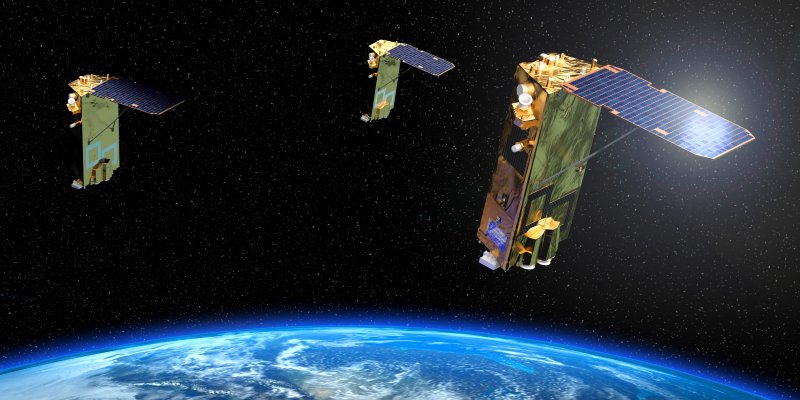
Data acquired by the first commercial highresolution radar satellite TerraSAR-X is now operationally available: Infoterra GmbH, the owner of the exclusive commercial exploitation rights for this data, has announced its commercial sales operations to be up-and-running.
Ever since the spacecraft delivered first impressive images a mere four days after the successful launch on June 15th, 2007, the global user community of Earth observation data has eagerly awaited this day: the weather independent satellite with a resolution of up to 1m is a uniquely reliable data source. Flexible acquisition modes and a rapid response time make TerraSAR-X data a valuable input for a variety of geo-information applications.
"We have been working towards this for several years now and thoroughly prepared our business processes," deliberates Joerg Herrmann, managing director of Infoterra GmbH: "Our teams have established a reliable customer service, a secure technical infrastructure and efficient business processes for the data sales. In addition, our geo-information experts have developed a sound portfolio of radar-based geo-information services that is now ready to be brought into the market."
Less than seven months after launch – precisely as scheduled – the German Aerospace Centre DLR declared the TerraSAR-X commissioning phase to be finalized: The satellite is functioning flawlessly, and all related ground infrastructure has been implemented and tested successfully.


