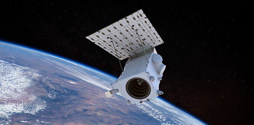
At 11:19 a.m. (EST) GeoEye-1, the world’s highest resolution commercial Earth-imaging satellite, collected an image over the United States Capitol and the Inauguration of President Barack Obama. The image, taken from 423 miles in space, is the world’s highest resolution, color satellite image of the Inaugural celebration.
The image, taken through high, whispy white clouds over Washington D.C., shows the monuments along the National Mall and masses of people between the Capitol and the Lincoln Memorial. Among the many interesting features in the image are the clusters of people gathered around large jumbotron screens.
The image was taken by GeoEye’s newest satellite, GeoEye-1, as it moved from north to south along the eastern seaboard of the United States traveling at 17,000 mph or about four miles per second. The satellite is currently in its final stages of check-out and calibration.

For more information, please visit www.geoeye.com.


