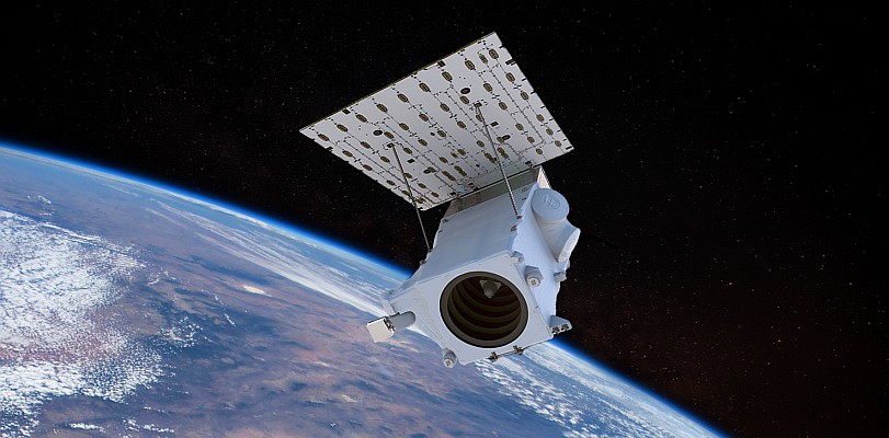
GeoEye, a premier provider of satellite and aerial-based geospatial information, announced the start of commercial operations for its new GeoEye-1 Earth-imaging satellite. The Company is also submitting imagery from the satellite to the National Geospatial-Intelligence Agency (NGA) for their certification under the terms of the NextView contract.
The NextView program is designed to ensure that the NGA has access to commercial imagery in support of its mission to provide timely, relevant and accurate geospatial intelligence in support of national security. GeoEye won its $500-million NextView contract in September 2004. In October 2004, GeoEye selected General Dynamics Advanced Information Systems as the GeoEye-1 prime contractor. The satellite’s sensor was built by ITT Corporation.
GeoEye-1 imagery products and solutions are now commercially available in half-, one-, two- and four-meter ground resolutions. Imagery products are available in color and black & white. Color imagery comprises four bands: blue, green, red and near-infrared.
GeoFuse
Additionally, customers can search for Ikonos data in the GeoEye satellite imagery archive using the company’s newly released search-and-discovery tool called GeoFuse, where "Fuse" stands for "Find, Use, Serve and Extend." GeoFuse gives users access to a number of search-and-discovery tools, assists customers in locating available imagery which meet specific project needs and enables them to easily navigate and efficiently search. To search GeoEye’s archive, which contains more than 300 million square kilometers, please visit http://geofuse.geoeye.com.
For more information, please visit www.geoeye.com.


