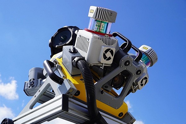
Merrick & Company’s geospatial group is providing light detection and ranging (LiDAR), color digital orthophotography, and photogrammetry for ISA, Medellín, Colombia. ISA is a Colombian economic group working in Colombia, Brazil, Peru, Bolivia, and Central America. It works in the design, construction, administration, and operation of linear infrastructure systems that enhance continental infrastructure development. The company is focused on electric power transmission, telecommunications, and infrastructure. The LiDAR and topographic data will be collected along the Colombia/Panama border.
Merrick & Company, a $100 million geospatial solutions, surveying, engineering, architecture, and design-build firm, serves domestic and international clients in the geospatial technologies, mapping, energy, security, and life sciences markets. With a focus on geospatial surveying and remote sensing services, the firm’s most recent work includes light detection and ranging (LiDAR) data acquisition in Texas for oil and gas exploration, acquiring LiDAR data for the Federal Emergency Management Association’s dam and levee recertification program, providing services to Xcel Energy, and providing services to the U.S. Department of Agriculture’s Natural Resources Conservation Service and the Bureau of Land Management.
Follow us on Twitter.


