 Autodesk recently announced the release of its new Infrastructure Modeler software. This product, which replaces Autodesk LandXplorer, will help engineering, transportation and urban planning professionals create, evaluate and communicate project proposals.
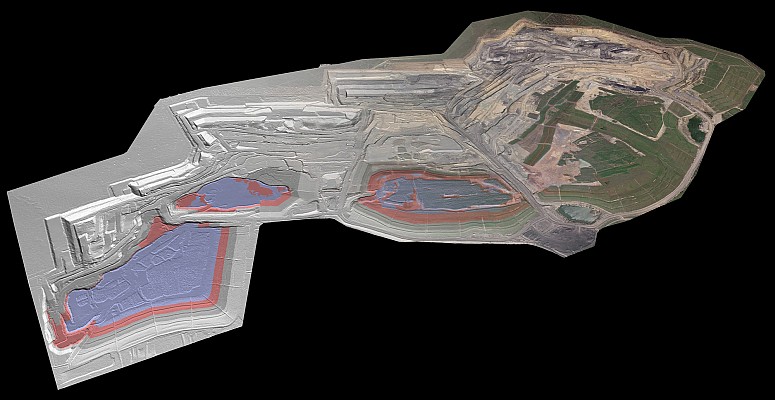
Decision makers in these industries will be able to more easily visualize water and land features, underground infrastructure, roads and buildings using the 3D display capabilities in Autodesk’s innovative modeling solution. With its combined modeling, import and infrastructure design functionalities and field data processing capabilities, Infrastructure Modeler can incorporate several design alternatives within a single model, facilitating the decision-making process.
Consortech is constantly looking out for the latest technologies, and is excited about this software advance that will help optimize projects from all corners of its diverse customer base. The Brossard-based company will also be able to integrate virtually any type of data into this new tool, thanks to its expertise with FME.
“We are proud to reaffirm our commitment to our customers by offering and supporting Autodesk’s brand new Infrastructure Modeler package. Our training center and application specialists are ready for the much-anticipated release of this new software,” stated Rémy Pelletier, Director of Operations at Consortech.
Consortech will be holding events in conjunction with the launch of Autodesk Infrastructure Modeler in Montreal and Quebec City on November 9th and 10th. Watch the Consortech website for more details.


