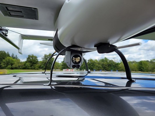
 Geo-matching.com, a product comparison website for devices used in geomatics, hydrography and related industries, is pleased to announce the addition of a new category for Unmanned Aerial Systems (UAS).
The types of Unmanned Aerial Systems (UAS) that qualify for inclusion in this new category are all UAVs equipped with cameras, Lidar or other sensors capable of surveying Earth and/or sea surfaces, including relevant processing software.
The following systems are currently listed: Aibot X6 (Aibotix), AR180 (Airobot), eBee (senseFly), EasyMap UAV (FotoMapy), md4-200 (microdrones), md4-1000 (microdrones), Phoenix AL-2 (Phoenix Aerial), Resolution (Oxford Blue Systems), Scout B1-100 UAV (Aeroscout), SIRIUS PRO (MAVinci), SmartOne C (SmartPlanes), Trimble UX5 (Trimble Navigation) and Versa X6 (Versadrones). View the overview


