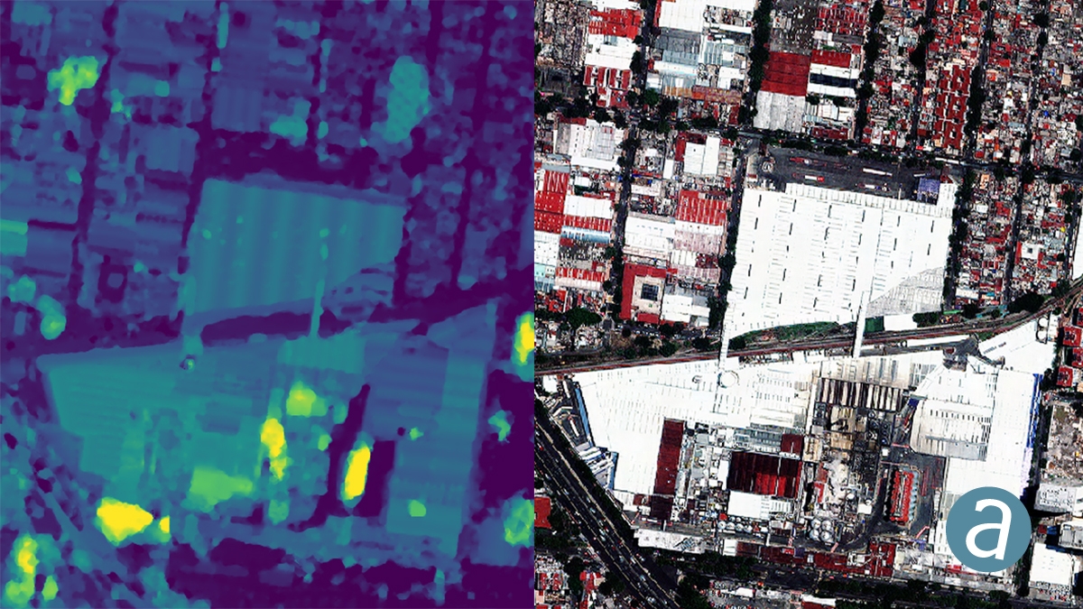
SimActive Inc., a world-leading developer of photogrammetry software, announces that his Correlator3D™ product is used to map the UNESCO World Heritage Site of Halin in Myanmar.
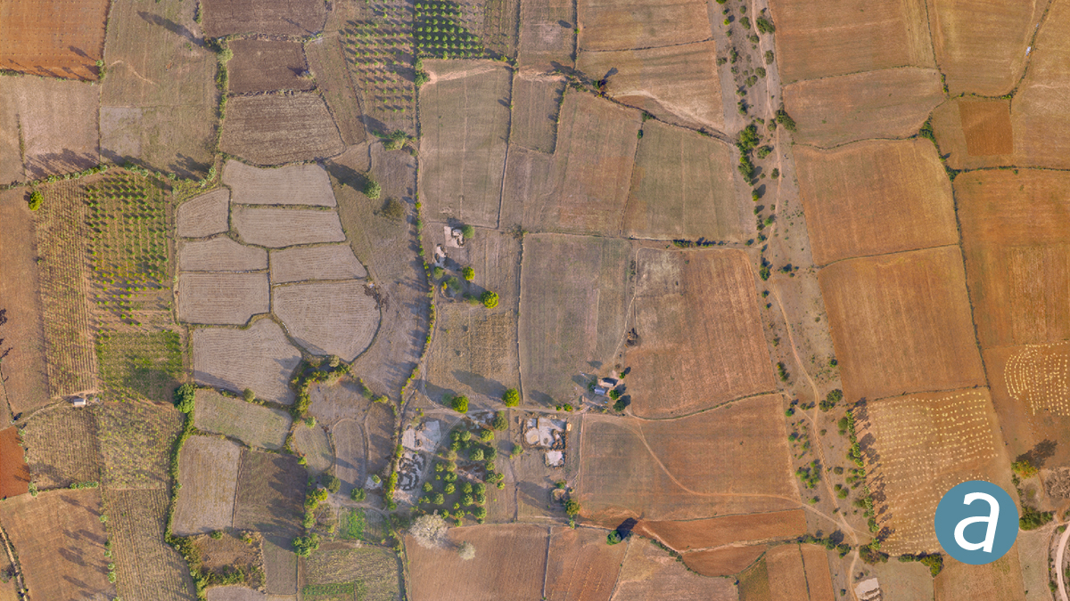
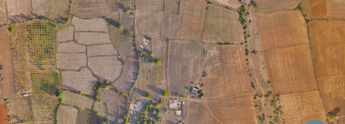
The archaeological project involved the deployment of drones to gather data necessary to prepare orthophoto maps and digital elevation models.
The goal is to find new features as well as to assess the state of the known ones.
These include monumental walls, dams and digging canals many of which are still visible in the landscape.
The resulting geospatial data also allow to check if modern constructions or farming are not causing any damage.
“Our collaboration with SimActive is allowing us to produce highly accurate maps of an historic site that is more than 2,000 years old. The datasets help us understand the past civilizations and safeguard the common heritage of mankind”
Kasper Hanus, research fellow at The Institute of Mediterranean and Oriental Cultures of the Polish Academy of Sciences