
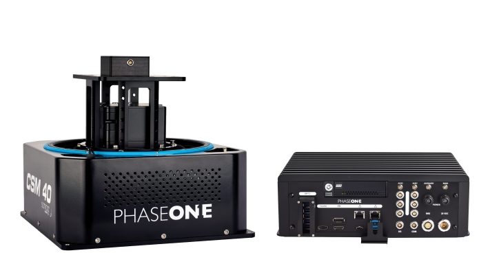
Phase One, a developer of digital imaging technologies, has introduced its next-generation Phase One Aerial Systems (PAS). Among its many enhancements, PAS is now supported by the new iX Controller series which incorporates an Applanix GNSS-Inertial unit, making airborne mapping more efficient with the possible use of direct georeferencing.
Designed for increased productivity in shorter flight time, the PAS 280MP is setting new standards in RGB large-format aerial imaging in terms of image quality and return on investment. The high image capture rate of 2fps and 20,000-pixel swath combined with advanced blur control motion compensation technology ensures sharp image collection at high flight speeds. The system’s high dynamic range and improved light sensitivity mean more flight hours per day and year.
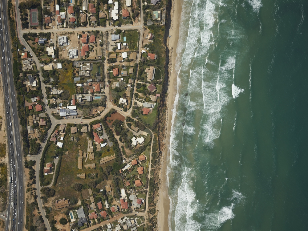
In addition, the PAS 280MP is light and compact, allowing it to be easily installed in a wide range of aircraft. The large-format aerial system offers an optional 4-Band configuration for simultaneous RGB color and near-infrared (NIR) image collection used in agriculture, forestry, and vegetation mapping applications. The PAS 150MP provides the same accuracy and versatility at 150MP resolution.
“We are proud to introduce our next-generation PAS with the addition of AP+, the latest GNSS technology from Applanix, enabling direct georeferencing without the use of ground control points – a major cost saver. The complete integration with the iX Controller, enables our geospatial clients to complete their aerial mapping projects faster and more efficiently,” said Dov Kalinski, VP of Geospatial Business.
The PAS 280MP and 150MP are delivered fully integrated with the new iX Controller MK5, serving as a computerized command center onboard the aircraft, supporting a variety of accuracy levels.
For information on next-generation Phase One Aerial Systems, visit: https://geospatial.phaseone.com/aerial-solutions.


