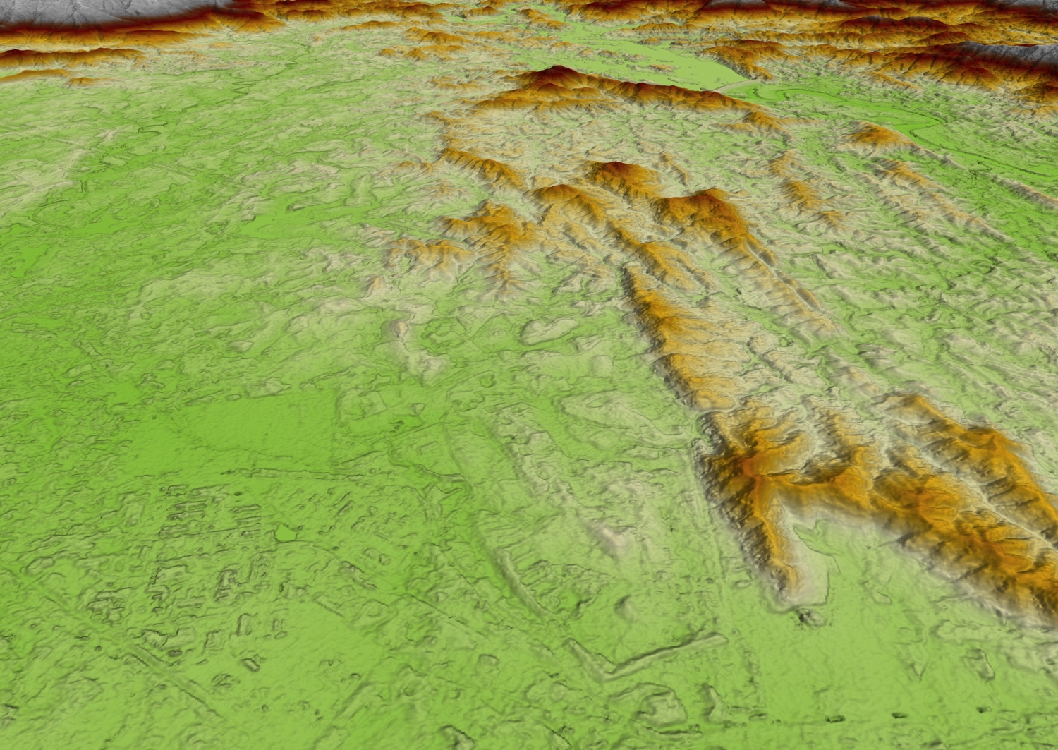
Airbus Defence and Space has just launched WorldDEM Neo, its new global Digital Elevation Model, offering up-dated and more precise 3D dataset of the entire Earth’s landmass to serve a wide range of applications, from mapping to flight simulation.
As the world’s surface is a dynamic system where changes continuously occur, whether due to natural processes or human actions, it is essential to regularly update the existing DEMs.
Produced from new data acquired between 2017 and 2021, WorldDEM Neo provides seamless pole-to-pole coverage and standardised global DEM with no regional or national border divides.
The data is also more accurate, as it now offers 5m pixel spacing instead of 12m previously, and guarantees a 2.5m absolute vertical accuracy.
This WorldDEM Neo’s homogenous coverage, combined to a higher accuracy, is ideal for commercial aviation flight systems as well as for military applications (fighter aircraft, helicopter and UAVs), mission planning and operations. The 3D dataset also offers many potential uses in oil, gas and mineral exploration, as well as for civil engineering, network planning and infrastructure construction. WorldDEM Neo is also valuable to create maps of less than 1:10.000 scale and serves as high-quality base data in the field of orthorectification of aerial or satellite imagery.
Get more information on WorldDEM Neo here.