
The UP42 geospatial developer platform is now offering very high-resolution, high-frequency imagery captured by balloons flying in the Earth’s stratosphere. The zero-emission “Swifty” balloon fleet is operated by Near Space Labs, based in New York and Barcelona, to acquire detailed imagery that is more environmentally friendly and more affordable than traditional aircraft and satellite data.
In commercial operations to date, Near Space Labs’ imagery has been used to inform decision making by governments, energy utilities, insurance agencies, and conservation organizations.
“The Swifty technology is ideal for UP42 customers to use in persistent monitoring of critical infrastructure or rapidly evolving events, such as natural disasters,” said UP42 CEO Sean Wiid. “The unique perspective of the affordable Swifty imagery complements the diverse data sets on our marketplace to provide new geospatial insights.”
UP42 customers can now access the Near Space Labs 30cm archive data directly through the UP42 API. Near Space Labs 10cm data will soon be accessible via the platform as well and customers can already submit requests to be notified when the data is available. Near Space Labs covers regions in the United States and plans to provide and capture data globally.
“We at Near Space Labs are strategically aligned with UP42 in our vision to increase Earth Observation’s commercial success through more data availability, ease of usage and improved consistency for analytics,” said Ignasi Lluch, Co-Founder and CTO of Near Space Labs. “Through this offering, we expect to reach even more users and demonstrate that earth imagery does not need to be expensive, difficult to find, or a compromise between frequency and resolution.”
Environmental sustainability is just one part of the Near Space Labs story. Swifty imaging platforms fly at altitudes up to 70,000 feet, capturing natural RGB color imagery at 10cm spatial resolution for areas up to 1,000 sq km in a single flight. With no emissions, the imagery costs about 30-45 percent less than manned aircraft or satellite data.
Near Space Labs has scheduled more than 500 flights in 2022. The Swifty balloons can be deployed up to five times per day allowing them to cover large geographic areas in short periods or capture repeated imagery of a single area of interest.
In more than 250 commercial flights over the past year, Near Space Labs has provided vital, timely information to the following market sectors:
Insurance – Identifying potential property risk, assessing post-disaster damage, automating site inspections.
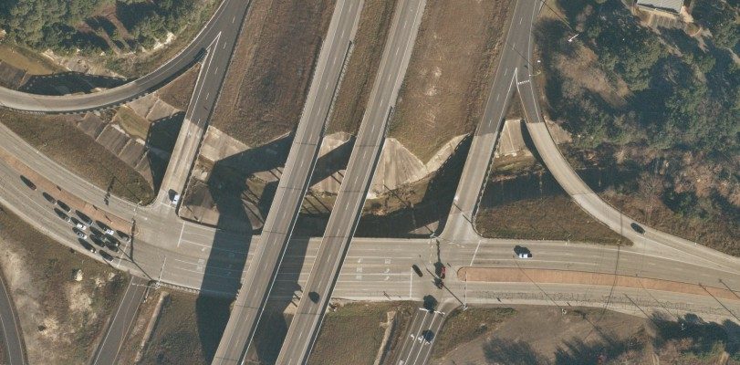
Infrastructure and Utilities – Identifying vegetation
encroachment, monitoring electric transmission infrastructure, tracking
urban sprawl, enabling smart city development, supervising road and
building construction.
Resource Management and Conservation – Monitoring remote preservation areas, detecting environmental change, protecting natural resources, predicting crop yield.
The advantage of offering the Near Space Labs imagery on the UP42 marketplace is that it gives users the ability to merge or enhance the unique balloon imagery with other data sets. The diverse UP42 marketplace offers an extensive selection of satellite and aerial data sets with a range of spatial and spectral characteristics as well as elevation and weather, enabling the creation of geospatial solutions and insights that cannot be generated anywhere else.
Whether a customer is developing a new geospatial product or building an entire business, UP42 lowers the barrier to entry by providing customers the processing tools and cloud computing to affordably extract meaningful information.
Discover the most sustainable very high-resolution data on the market: https://up42.com/goingup/nearspace.


