

Pix4D, the market leader in photogrammetry solutions, is pleased to announce a new partnership with Nuvem UAV in Brazil. The Nuvem UAV project was founded in 2007 and is a drone manufacturer and drone service provider in South America. This new original equipment manufacturer (OEM) partnership is part of Pix4D’s wider efforts to expand its presence on the continent.
Pix4D products will be sold through Nuvem’s bundles, who already sell their own drones that are used for both RGB and multi-spectral image capture. Nuvem is based in Presidente Prudente, SP (São Paulo) and sells two drone models: the Spectral and the Batmap. The Spectral is a multicopter drone that can capture RGB, multi-spectral, and thermal imagery. The Batmap is a fixed-wing model with a 3-hour flight time and an RTK/PPK system set up. Both of these pieces of hardware are compatible with Pix4D software, encouraging seamless workflows between the hardware and software systems.
“We are very excited to announce this partnership, which is part of a wider effort to connect with clients and drone operators in South America. This comes after the launch of our website in Portuguese as well, and a new partnership with a local, established drone manufacturer feels like the natural next step in Pix4D’s global expansion”, says Pablo Santos Fernandez, Regional Sales Manager for Ibero-america..
“Pix4D is a leader in specialized drone software, and this partnership is an exciting opportunity to provide our customers with a complete workflow from data capture to data analysis that is shareable. We look forward to the benefits this partnership will bring to both Pix4D and Nuvem UAV clients”
The partnership is effective as of June 1st 2022. Nuvem UAV will be the Pix4D primary contact for Nuvem UAV owners in Brazil and other countries in South America, with support from Pix4D’s headquarters in Switzerland and offices in Spain and the USA.
About Pix4D
Pix4D (pix4d.com) develops cutting-edge software and hardware that converts images taken by hand, drone, or plane into accurate and georeferenced survey-grade 2D mosaics, 3D models, and point clouds. Founded in 2011, Pix4D is rapidly expanding from its headquarters in Lausanne, Switzerland, to offices in Berlin, Madrid, Bucharest, Denver, Shanghai, and Tokyo.
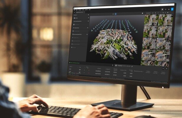
Pix4D is best known for PIX4Dmapper, the industry-leading photogrammetry software for drone mapping, and other software solutions like PIX4Dfields for agriculture, PIX4Dreact for emergency response, PIX4Dcloud for online drone mapping, progress tracking, and site documentation, PIX4Dinspect for automated industrial inspection and asset management, Pix4Dmatic for large scale mapping and PIX4Dsurvey for efficient terrain modeling and vectorization.