News - GNSS and Positioning
Aero Photo Europe Investigation first to purchase Leica CityMapper-2
News – GNSS and Positioning
News - GNSS and Positioning
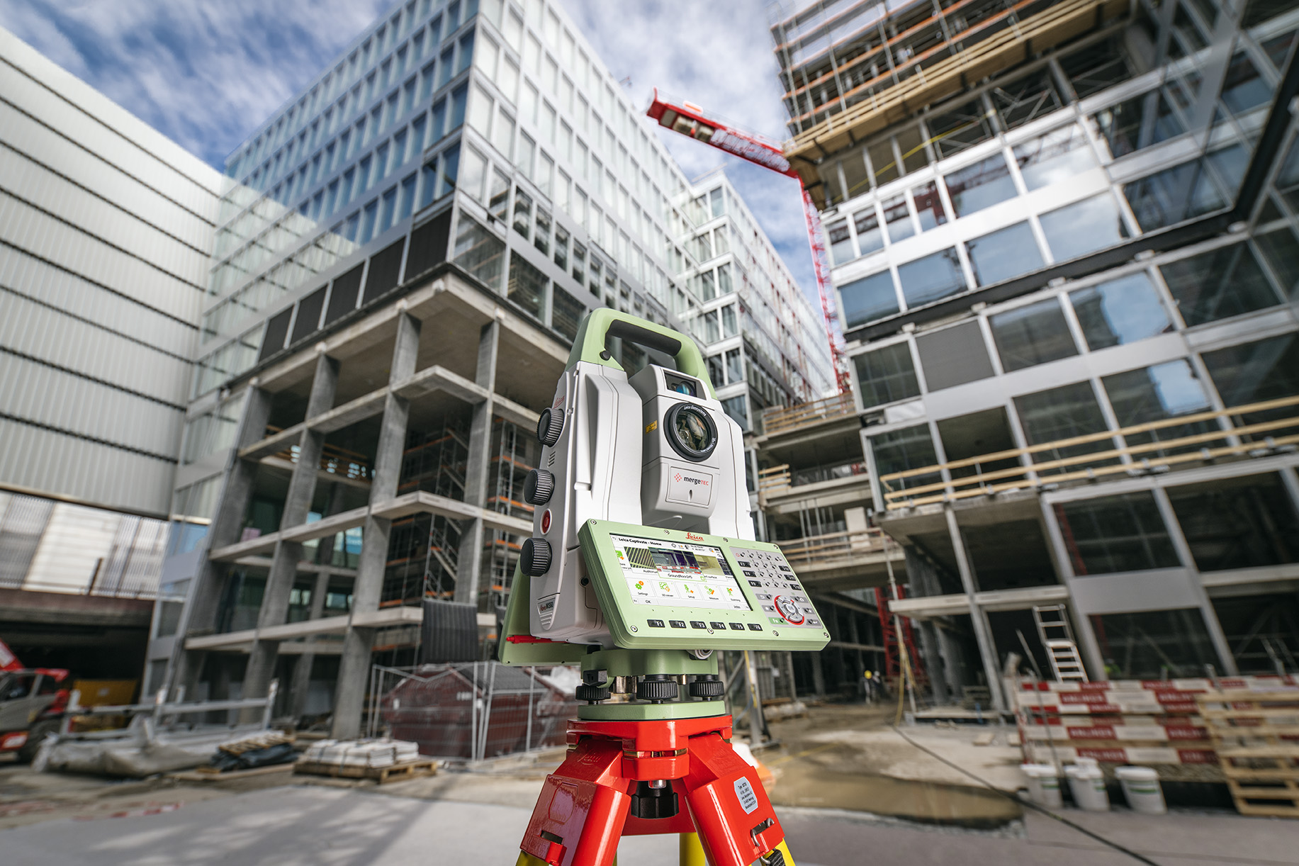
Leica Geosystems brings the world’s first MultiStation to the next level
News - GNSS and Positioning
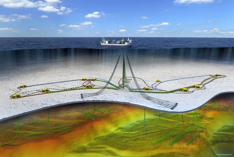
Fugro wins Geotechnical Machine-Learning Competition
News - GNSS and Positioning
Hexagon Strengthens HxGN Content Program With Acquisition of COWI’s Mapping Business
News - GNSS and Positioning
InnerSpace Awarded Patent for Automated Indoor Map Generation Capabilities
News - GNSS and Positioning
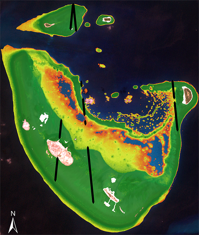
TCarta Developing Commercial ICESat-2 Bathymetric Product
News - GNSS and Positioning
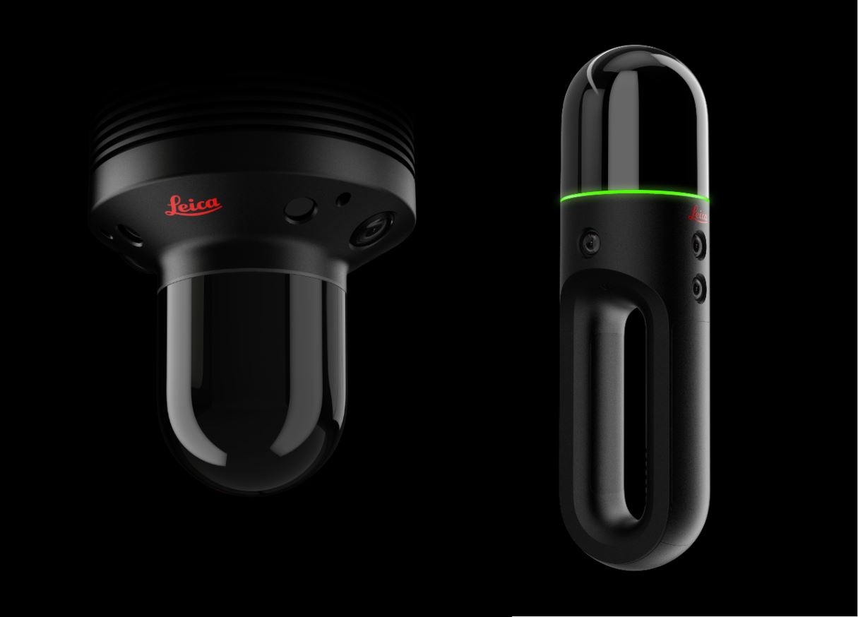
Leica BLK2GO named CES 2020 Best of Innovation winner, BLK247 recognised as Innovation Award Nominee
News - GNSS and Positioning
Hexagon introduces visualisation platform for representation of the real world
News - GNSS and Positioning
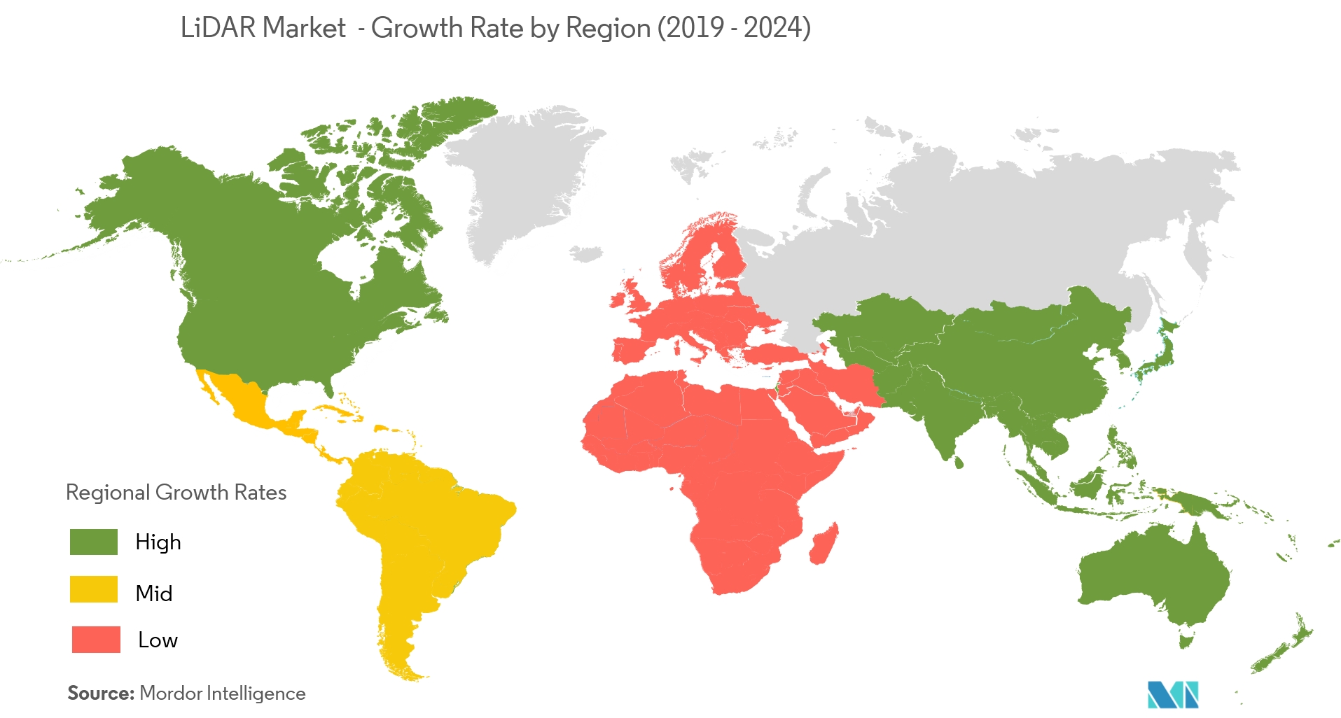
Exclusive Report: LiDAR Market Expected to Grow at a CAGR of 12.76%
News - GNSS and Positioning
Trimble Extends the Reach of GNSS with LTI Laser Rangefinders
News - GNSS and Positioning
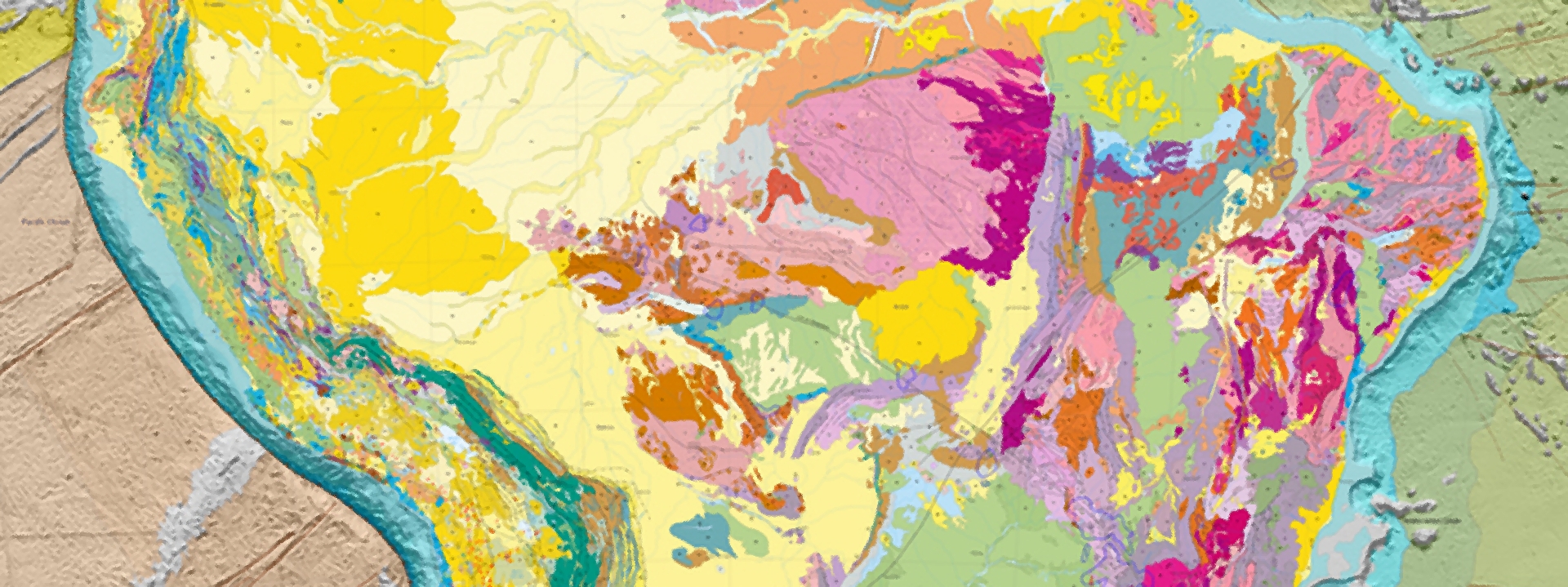
New edition of the Geological Map of South America
News - GNSS and Positioning
New General Manager to lead Maptek in Africa
News - GNSS and Positioning
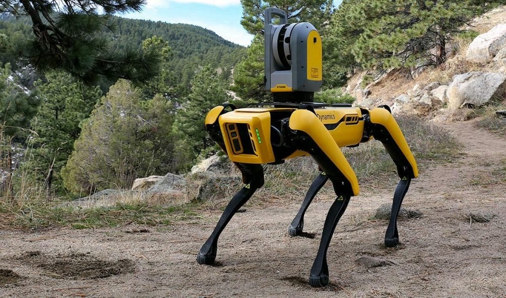
Trimble, Hilti and Boston Dynamics Partner to Explore the Use of Autonomous Robots in Construction
News - GNSS and Positioning
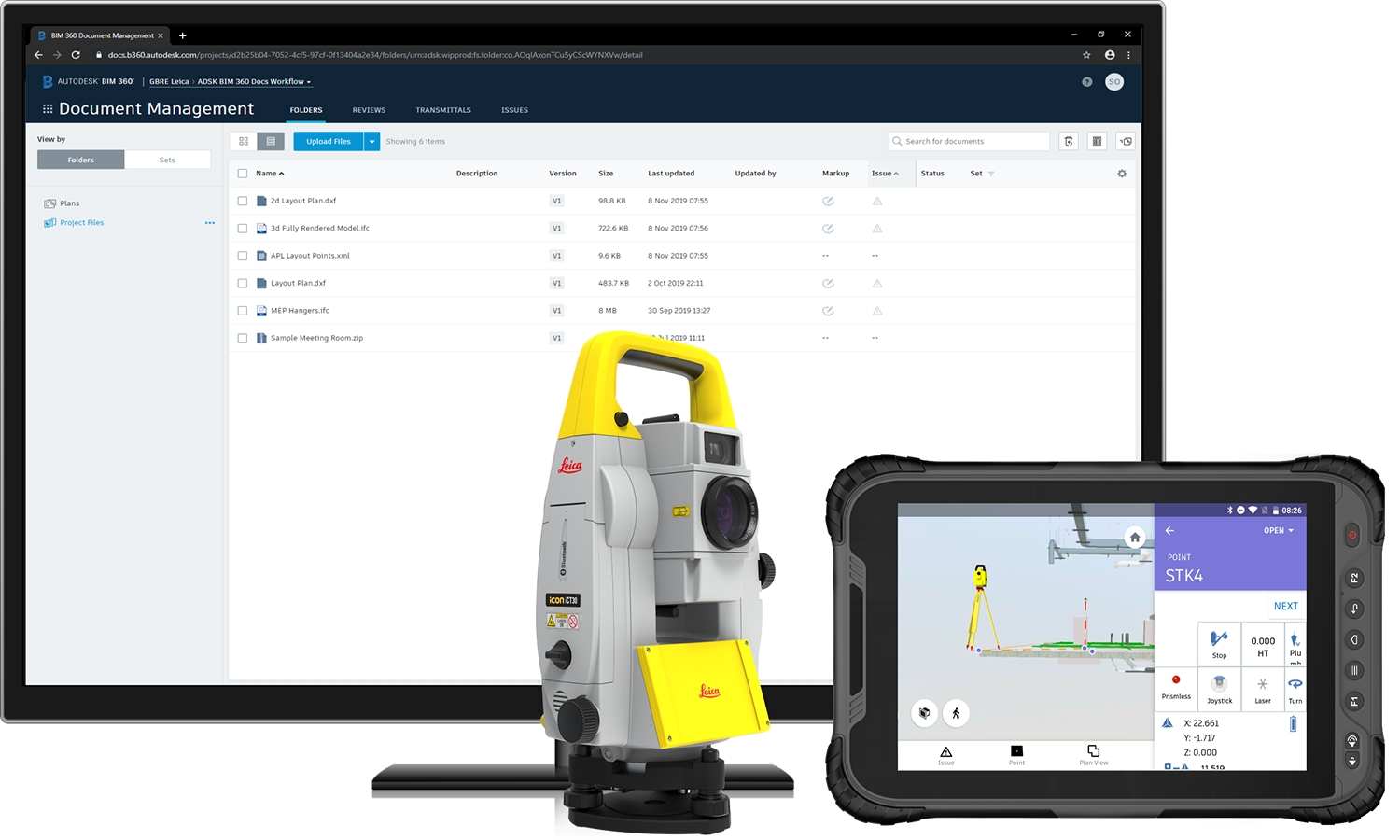
Leica Geosystems, Autodesk further collaborate to bring more efficiency to building construction industry
News - GNSS and Positioning
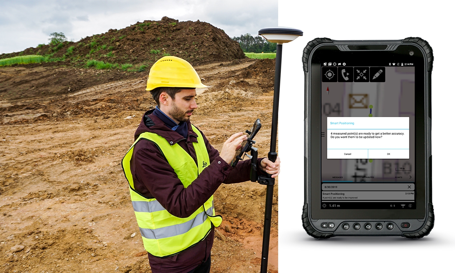
Leica Geosystems enables a new era for GIS data capture with Zeno Mobile
News - GNSS and Positioning
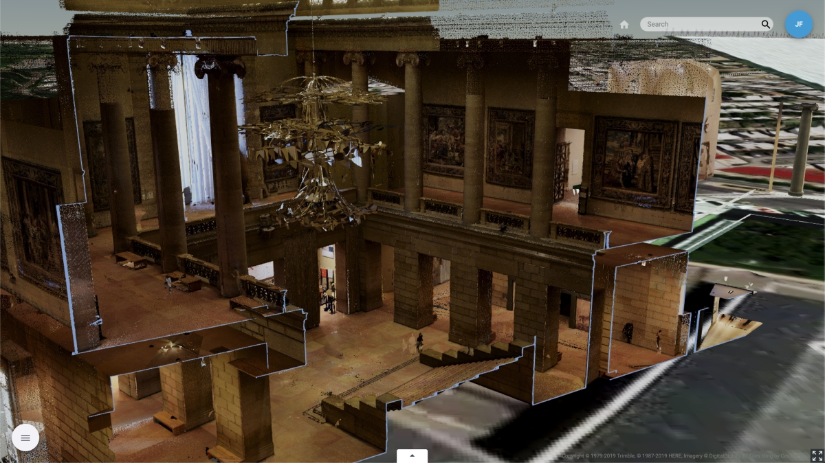
Trimble Clarity Now Offered as Web Application for Point Clouds and 3D Models
News - GNSS and Positioning
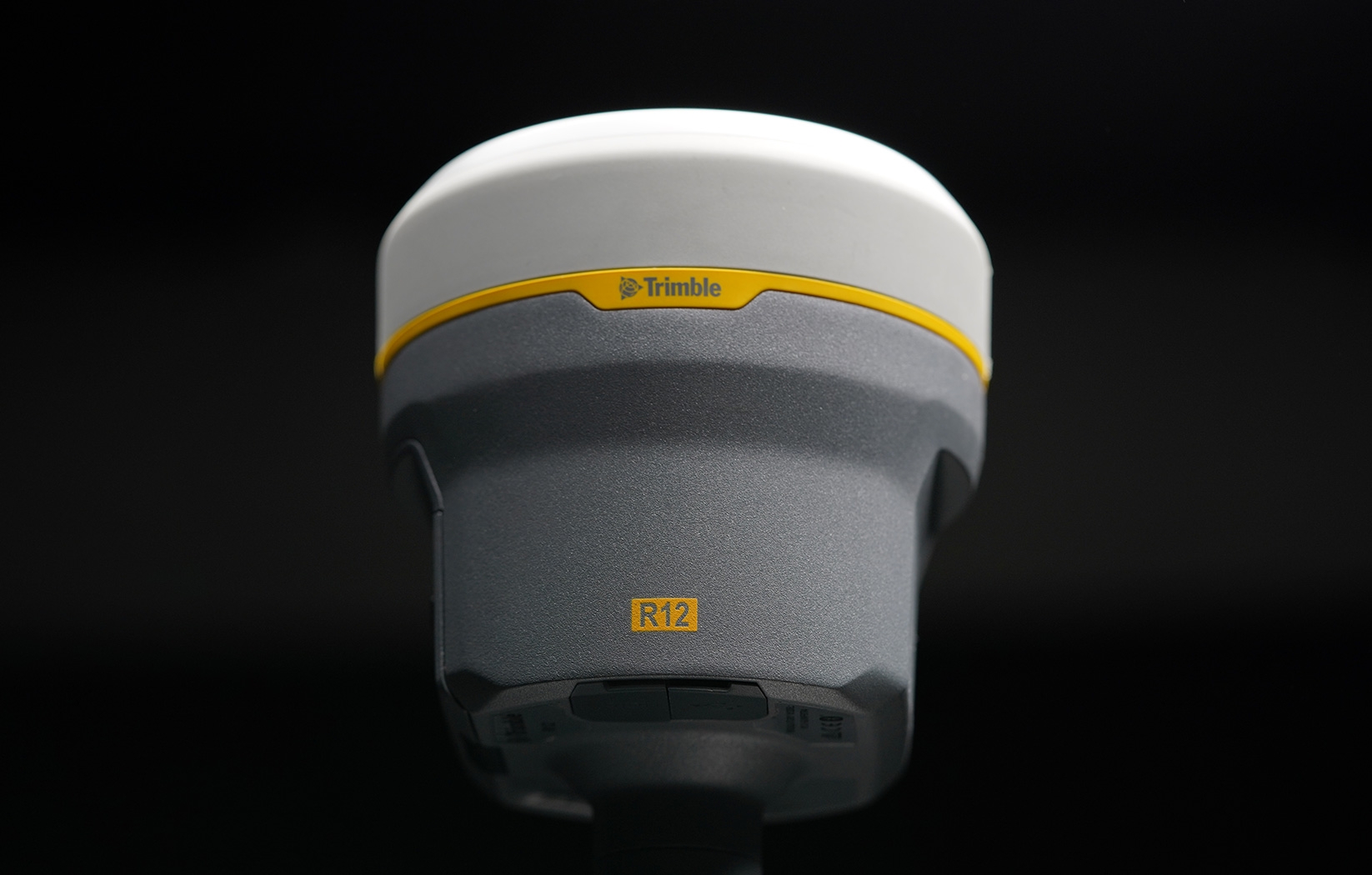
New Trimble R12 Receiver Boosts Surveying Performance
News - GNSS and Positioning
SimActive Software Used for Determining Financial Assistance After Hurricane Dorian
News - GNSS and Positioning
Planning engineers benefit from new Maptek Epoch mine scheduling
News - GNSS and Positioning
Leica Geosystems wins innovation award in 2019 Mondial du Bâtiment
Editorials
Live Schedule


