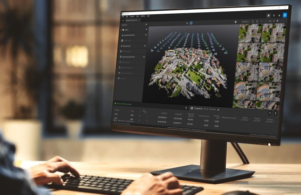
Drones and Robotics Pix4D is partnering up with Nuvem UAV in Brazil to support its growth in the South American market
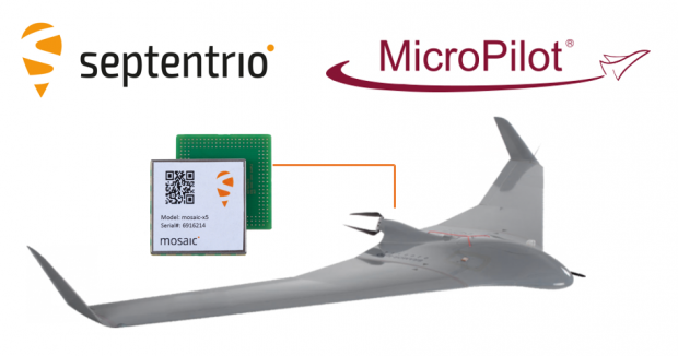
Drones and Robotics Septentrio teams with MicroPilot bringing top-performance GNSS positioning to Drones
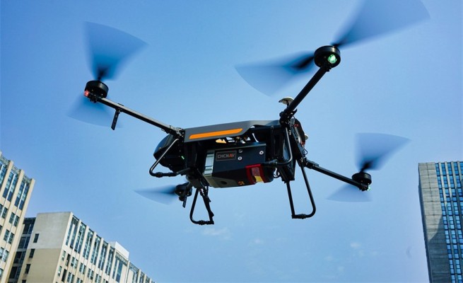
Geospatial Technologies CHC Navigation introduces the AlphaAir 1400 and AlphaAir 2400 Airborne LiDAR Series
Drones and Robotics Brazilian drone company JETWIND is joining DLE to collaborate with AIRGO to develop drone parts
Drones and Robotics AgEagle Announces eBee TAC Drone Solution Added to Blue UAS Cleared List by Defense Innovation Unit
Drones and Robotics Pix4D Germany wins a competitive tender for Deutsche Bahn to monitor railway infrastructure maintenance and construction in Germany
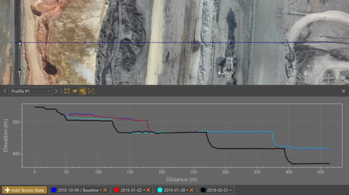
Drones and Robotics Virtual Surveyor Provides Comprehensive Insights into Drone Survey Data with Addition of Profile View
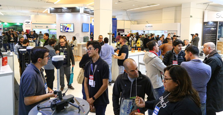
Space SpaceBR Show brings together representatives of the space sector in a free-of-charge online event
Drones and Robotics Count down to the Pix4D 24-hour virtual User Conference on Oct 6 with expert speakers and product updates