Geospatial Technologies MundoGEO Connect 2023 highlights reality capture, geographic intelligence, digital twins and the metaverse
Geospatial Technologies Trimble Introduces Next Generation High-Accuracy Mapping Solution for GIS Field Applications
Geospatial Technologies LandCoverNet, the First Global Multi-Satellite Training Dataset for Land Cover Classification
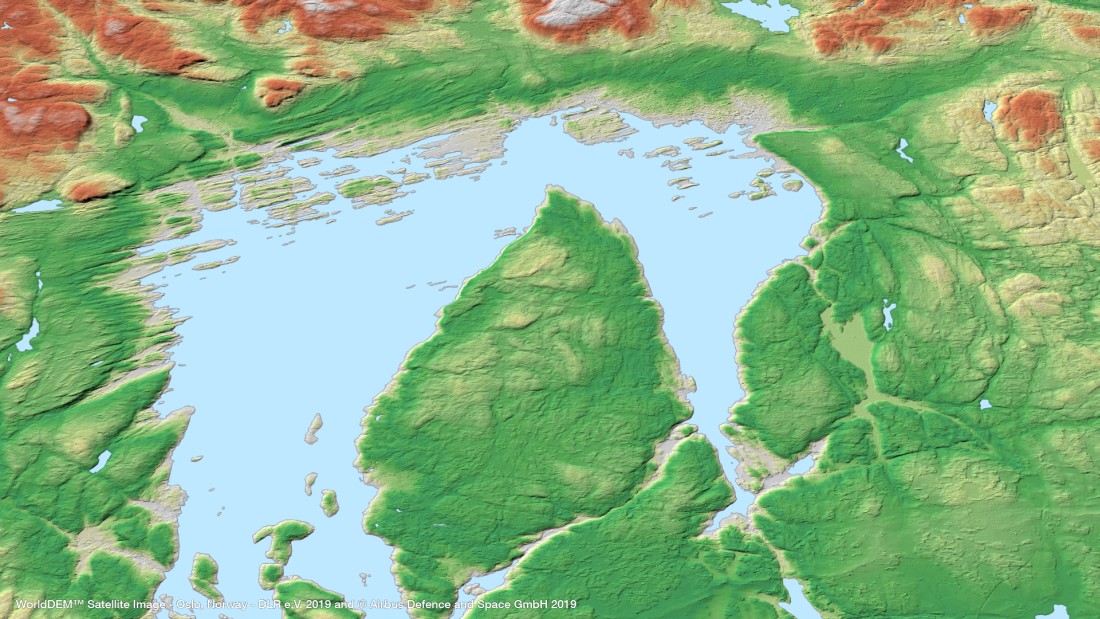
Geospatial Technologies OneAtlas now allows tasking of Airbus’ radar satellites, access to archive radar and WorldDEM data
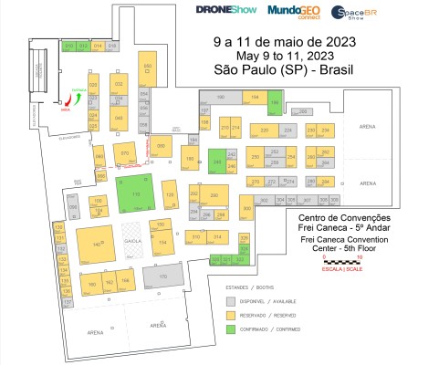
TRADE FAIR Trade Fair 2023: booth sales for DroneShow, MundoGEO Connect and SpaceBR Show events has begun
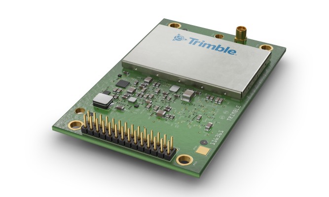
Geospatial Technologies Trimble Introduces High-Accuracy OEM GNSS Receiver Module for Industrial Autonomy Applications
Geospatial Technologies UP42 and Airbus Launch Copernicus Masters Challenge for Sustainable Urban Planning
Geospatial Technologies CHC Navigation Introduces the i73+ Pocket-sized GNSS Base and Rover with Built-in UHF Modem