Drones and Robotics More than 12,000 professionals attended the MundoGEO Connect, DroneShow Robotics, SpaceBR Show, and Expo eVTOL 2026 exhibitions
Geospatial Technologies Dephos Group is launching the Portuguese version of the Limon software worldwide during MundoGEO 2026
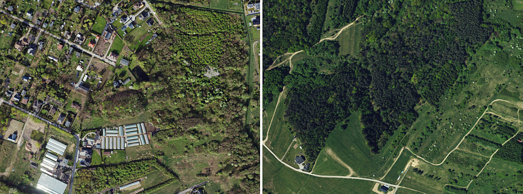
Geospatial Technologies Aerial image quality control at machine speed: how synthetic defects solved the rare-error problem
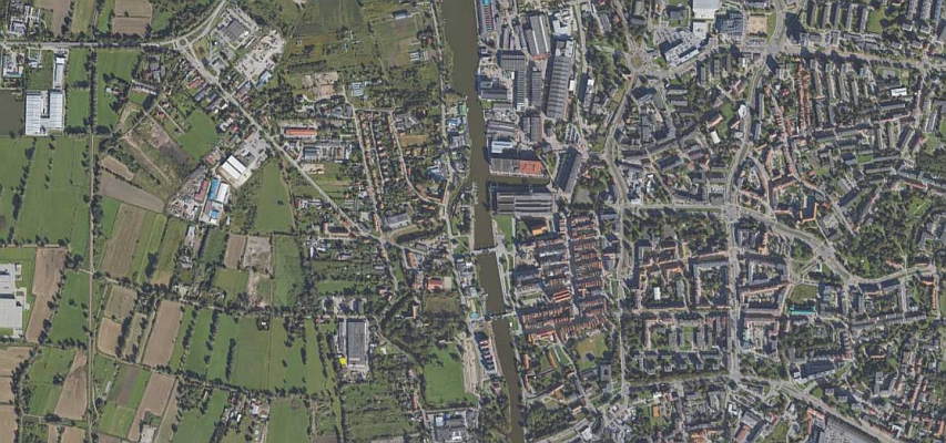
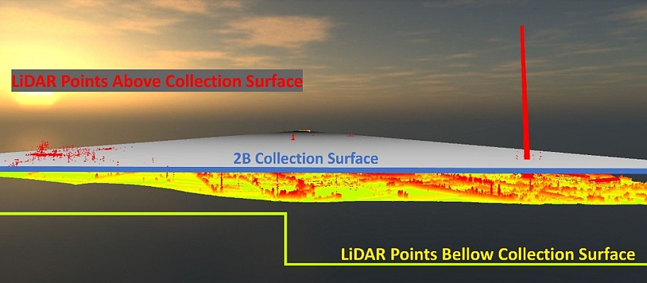
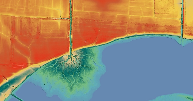
Geospatial Technologies A Continent of Precision: How to Meet Europe’s Demanding Spatial Data Standards?
Geospatial Technologies Geospatial Data: The Foundation for Becoming a Partner for the Agricultural Insurance Market
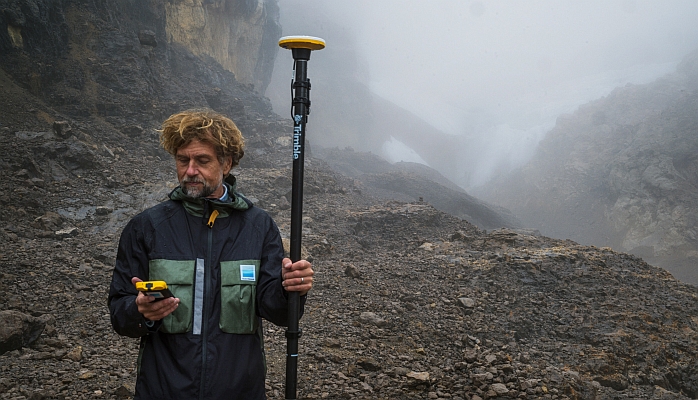
Geospatial Technologies Trimble Technology Enables First Centimeter-Accurate 3D Model of Disappearing Puncak Jaya Glaciers
Geospatial Technologies Tech Talk on UltraMap & UltraCam Merlin: A perfect combination for efficient data production
Geospatial Technologies US Army Corps of Engineers awards Fugro five‑year contract for critical infrastructure mapping
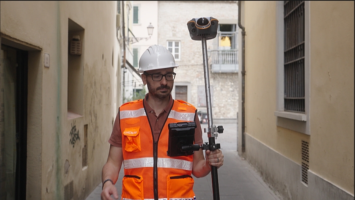
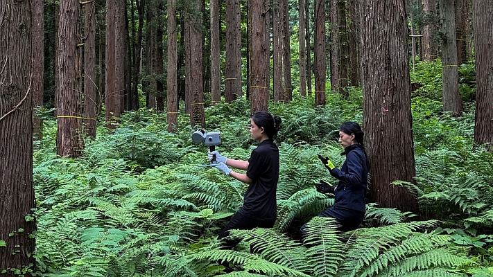
Geospatial Technologies Beyond GNSS Limits: Why the CHCNAV ViLi i100 Matters for Real-World Surveying
Geospatial Technologies OrbiView – transforms laser scanning and 360° imagery into a metrically accurate
16-18/6 SÃO PAULO 230 brands confirmed for the DroneShow, MundoGEO Connect, SpaceBR Show and Expo eVTOL 2026
Geospatial Technologies Viridien announces new Global Tailings Monitoring Service to deliver more comprehensive, automated safety intelligence
Geospatial Technologies Precision Monitoring: ComNav’s GNSS Technology Safeguards Critical Cambodian Hydropower Dam
Geospatial Technologies DEPHOS Group will be present at MundoGEO Connect 2026 with solutions for data quality control