Geospatial Technologies
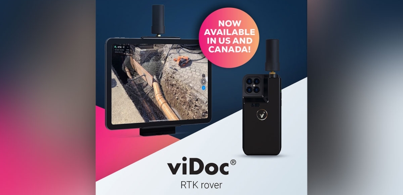
Pix4D launches viDoc RTK rover, an iPhone case that enables handheld professional 3D scanning
Geospatial Technologies
Geospatial Technologies
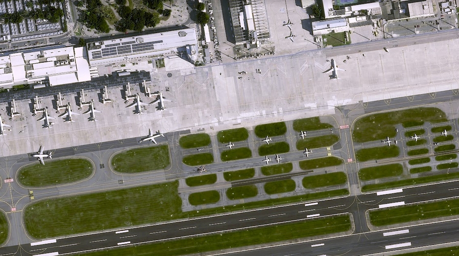
UP42 Unveils Very High-Resolution Imagery from Airbus Pléiades Neo Satellites
Geospatial Technologies
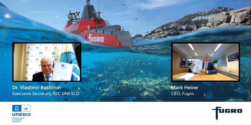
Nippon Foundation-GEBCO Seabed 2030 Project Announces Partnership with TCarta
Geospatial Technologies
Bentley Education Program Expands to Global Scope
Geospatial Technologies
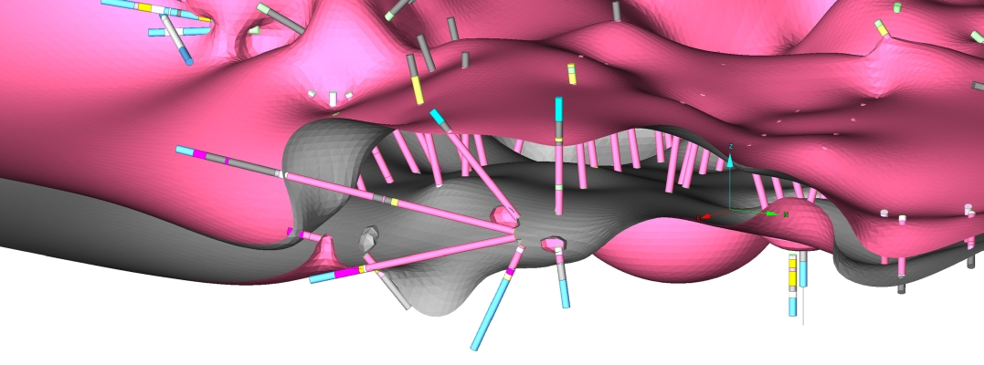
Maptek Geology challenge winner solves data
Geospatial Technologies
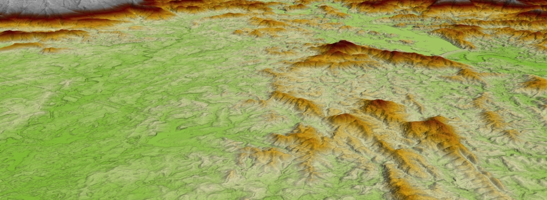
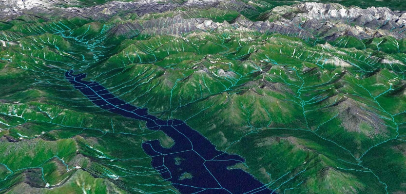
Airbus Defence and Space launches new global Digital Elevation Model
Geospatial Technologies
Septentrio introduces post-processing software for its GNSS/INS receivers
Geospatial Technologies
Maptek makes geological modelling simple
Geospatial Technologies
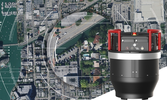
Vexcel Imaging releases new UltraCam Condor 4.1 camera
Geospatial Technologies
Bentley Systems Announces Seequent’s Acquisition of Minalytix
Geospatial Technologies
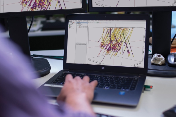
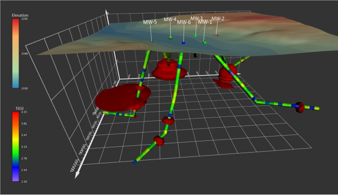
Golden Software Unveils 3D Drillhole Visualization in Surfer Surface Mapping Package
Geospatial Technologies
Fugro wins new contract with U.S. Geological Survey to support national mapping initiatives
Geospatial Technologies
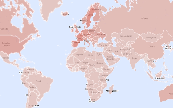
Galileo-compatible augmentation service providers map available
Geospatial Technologies
SXBlue II GPS: innovative technology that delivers sub-meter accuracy in real-time
Geospatial Technologies
Vexcel Imaging introduces Adaptive Motion Compensation Method (AMC)
Geospatial Technologies
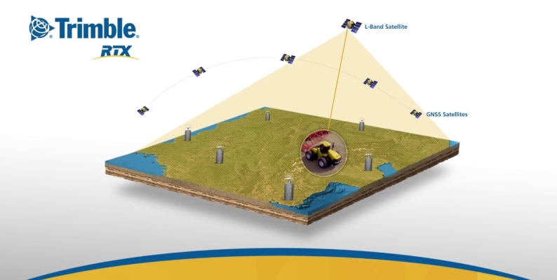
Trimble Boosts Flagship RTX Correction Services Performance
Editorials
Live Schedule


