Geospatial Technologies GeoCue Launches TrueView GO – Expanding Its Portfolio with Advanced Handheld Mapping
Geospatial Technologies The Power of Geospatial Intelligence will be the theme of MundoGEO Connect 2025
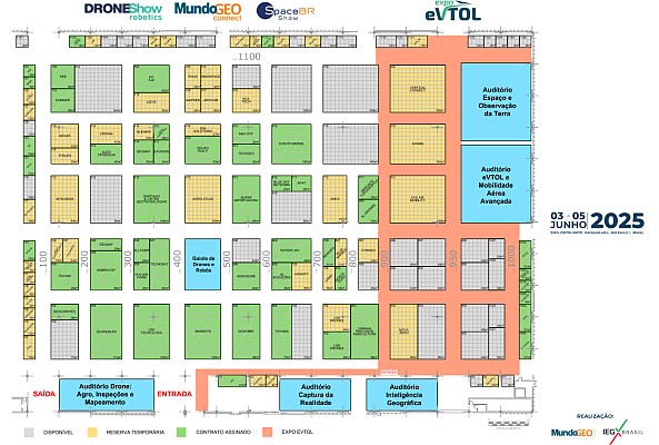
FEIRA MundoGEO 2025 already has 40% of stands sold and 30% reserved 30 days after this year’s exhibition
Geospatial Technologies International Bureau of Weights and Measures includes Galileo in monthly publication
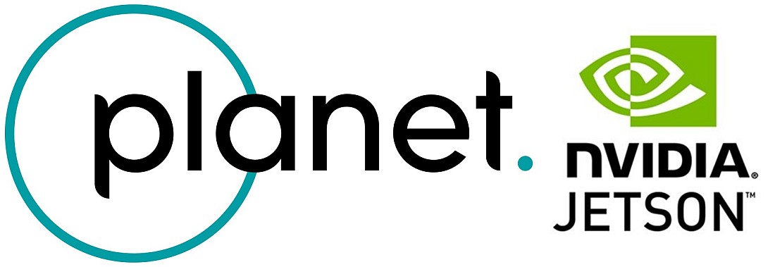
Geospatial Technologies Planet Labs PBC Announces Real-Time Insights Technology Using NVIDIA Jetson Platform
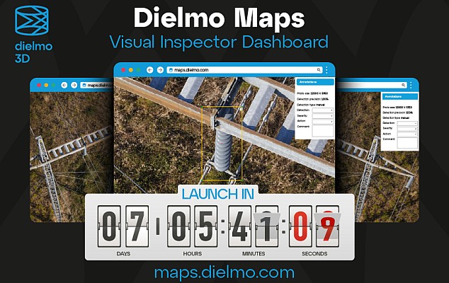
Geospatial Technologies Launch: Dielmo Maps, SaaS Platform for High-Resolution Geospatial Data Processing
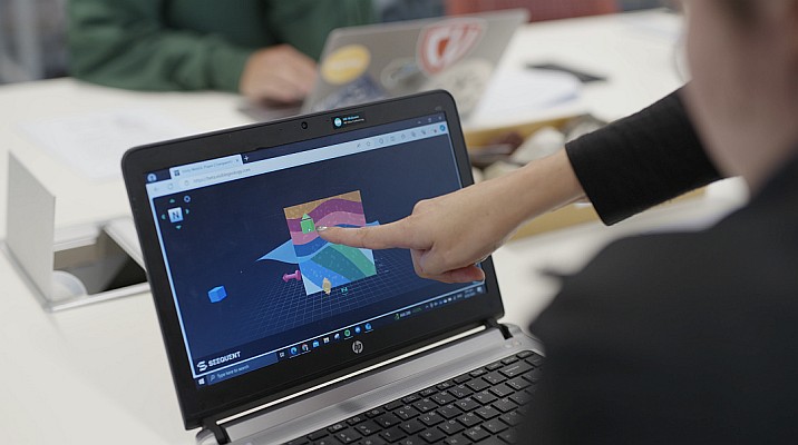
Geospatial Technologies Seequent launches free web app to help combat global shortage of earth scientists