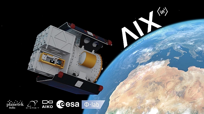
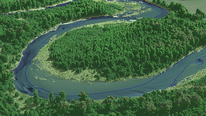
Geospatial Technologies Wherobots introduces RasterFlow, a major step forward in Earth Intelligence that makes complex earth observation data simple and AI-ready
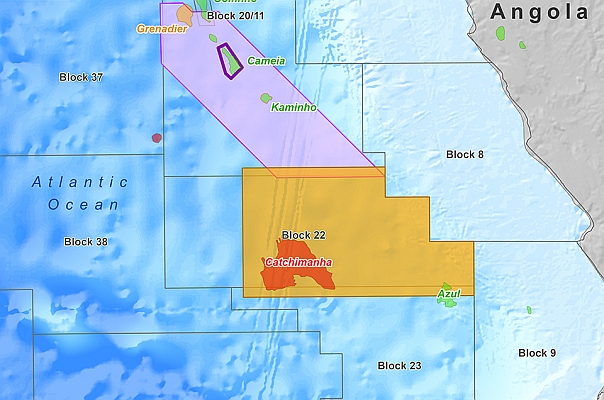
Geospatial Technologies Viridien announces new seismic reimaging program over block 22 offshore Angola to support upcoming licensing round
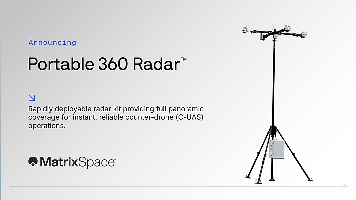
Drones and Robotics MatrixSpace Launches Portable 360 Radar for Rapid, Resilient Counter-Drone Operations Anywhere
Drones and Robotics UK-based Ray Systems Selects Beam Global to Develop and Deliver Battery Systems for Underwater Drones
Space ISOLDE Project Demonstrates Advancements in European Open Source RISC-V for Automotive, Space, and IoT
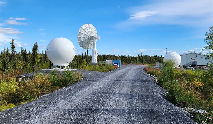
Geospatial Technologies Pixxel and UP42 Announce Partnership, Bringing Hyperspectral Data to Users Worldwide
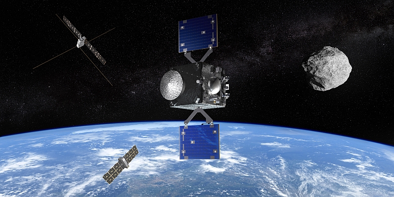
Space SPACEBEL and OHB Italia Sealing Deal for ESA’s RAMSES Mission Onboard Software in View of Apophis Asteroid Rendezvous
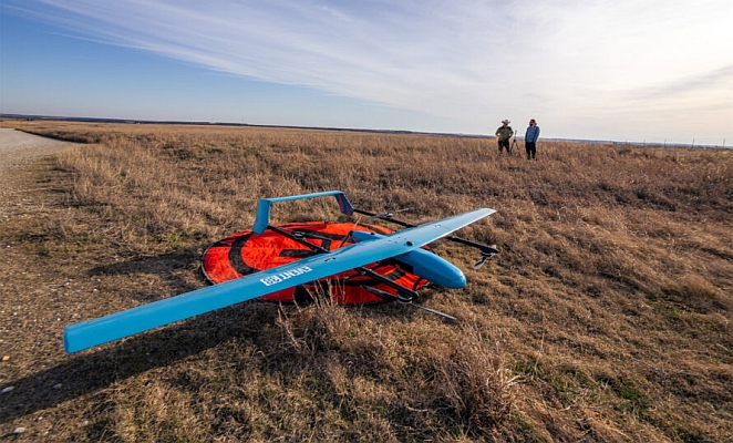
Drones and Robotics Event 38’s E455 Drone Supports Los Alamos Researchers in Locating Oil and Gas Wells
Drones and Robotics MatrixSpace Named Active Sensor Winner in US Army Operation Flytrap 4.5, xTechCounter Strike Competition
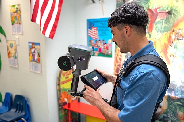
Drones and Robotics ZenaTech Signs Offer to Acquire Utah Surveying Firm, Expanding Drone as a Service into the Solar Infrastructure Market