Drones and Robotics
Axon and Skydio partner to deliver scalable drone offering for public safety
News
Geospatial Technologies
Juniper Systems launches Uinta Mapping and Data Collection Software on iOS
Geospatial Technologies
Trimble releases Top-Tier R980 GNSS System
Drones and Robotics
Event 38 partners with AviSight and Elsight for BVLOS operations
Geospatial Technologies
International Bureau of Weights and Measures includes Galileo in monthly publication
Geospatial Technologies
Unesco report warns of accelerated global warming and rising sea levels
Geospatial Technologies
Planet Labs PBC Announces Real-Time Insights Technology Using NVIDIA Jetson Platform
Geospatial Technologies
SimActive Implements New Workflow for Phase One 280MP Aerial System
Drones and Robotics
Startup develops technology to increase access to biological control solutions
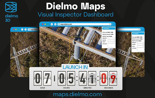
Geospatial Technologies
Launch: Dielmo Maps, SaaS Platform for High-Resolution Geospatial Data Processing
Drones and Robotics
DJI Completes World’s First Drone Delivery Tests on Mount Everest
Editorials
Live Schedule


