News - Geoprocessing and GIS OGC membership approves new Community Standard: Indoor Mapping Data Format
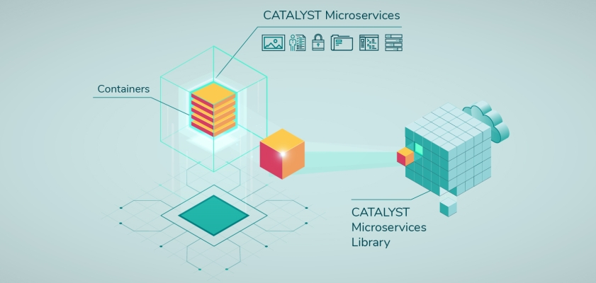
News - Remote Sensing CATALYST Announces Cost-Effective, Fully Scalable Processing of Earth Observation Imagery on the Cloud
News - Geoprocessing and GIS Nokia partners with Brazilian research group CPQD to develop 5G ORAN solutions
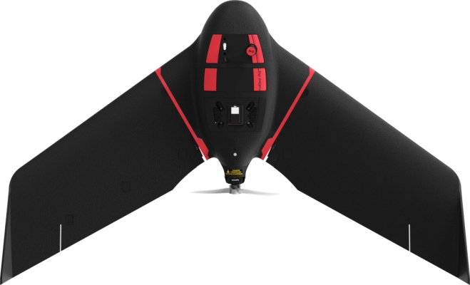
Drones and Robotics FlytBase & Heisha Collaborate to Offer a Low-Cost Automated Drone-in-a-Box Solution
News - GNSS and Positioning World’s Longest and Deepest Alternating Current Cable Route Surveyed with Spectra Geospatial SP60
News - GNSS and Positioning Commission awards €1.47 bn in contracts to launch the 2nd Generation of Galileo Satellites
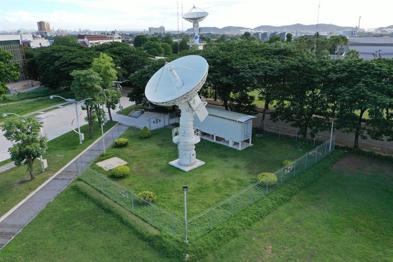
Space Swedish Space Corporation Strengthens its Presence in Asia-Pacific – Introduces SSC Space Thailand
News - Remote Sensing LiveEO Performs Satellite-Based Vegetation Risk Analysis of Entire U.S. Electric Transmission Grid