News - GNSS and Positioning
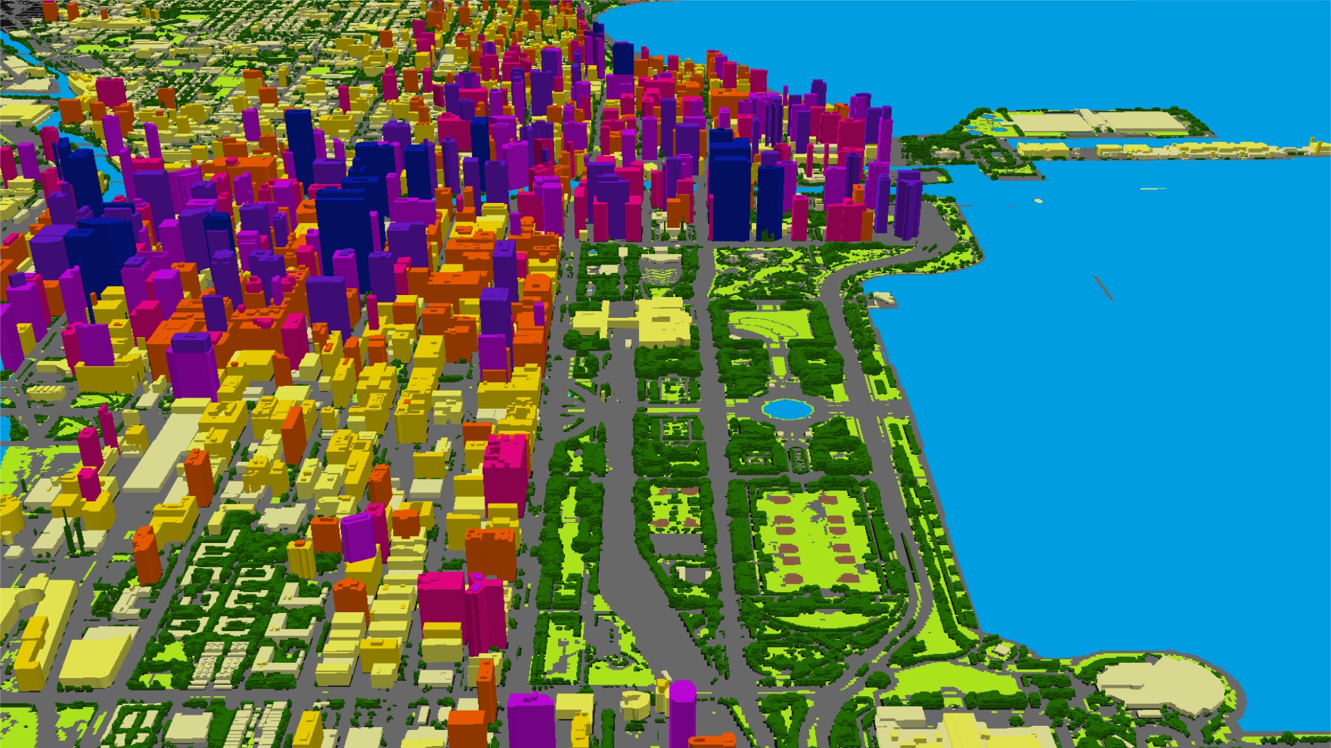
SimActive Software Used for Determining Financial Assistance After Hurricane Dorian
News
News - Geoprocessing and GIS
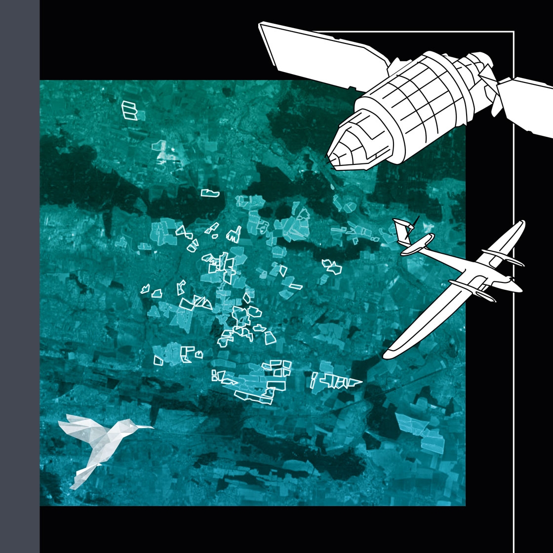
Webinar replay: A Complete Agritech Solution — Hummingbird Tech and CFG Ukraine
News - GNSS and Positioning
Planning engineers benefit from new Maptek Epoch mine scheduling
Drones and Robotics
Pix4D launches 2D mapping software for emergency response and public safety
Drones and Robotics
Webinar: A Complete Agritech Solution — Hummingbird Tech and CFG Ukraine
News - GNSS and Positioning
Leica Geosystems wins innovation award in 2019 Mondial du Bâtiment
Drones and Robotics
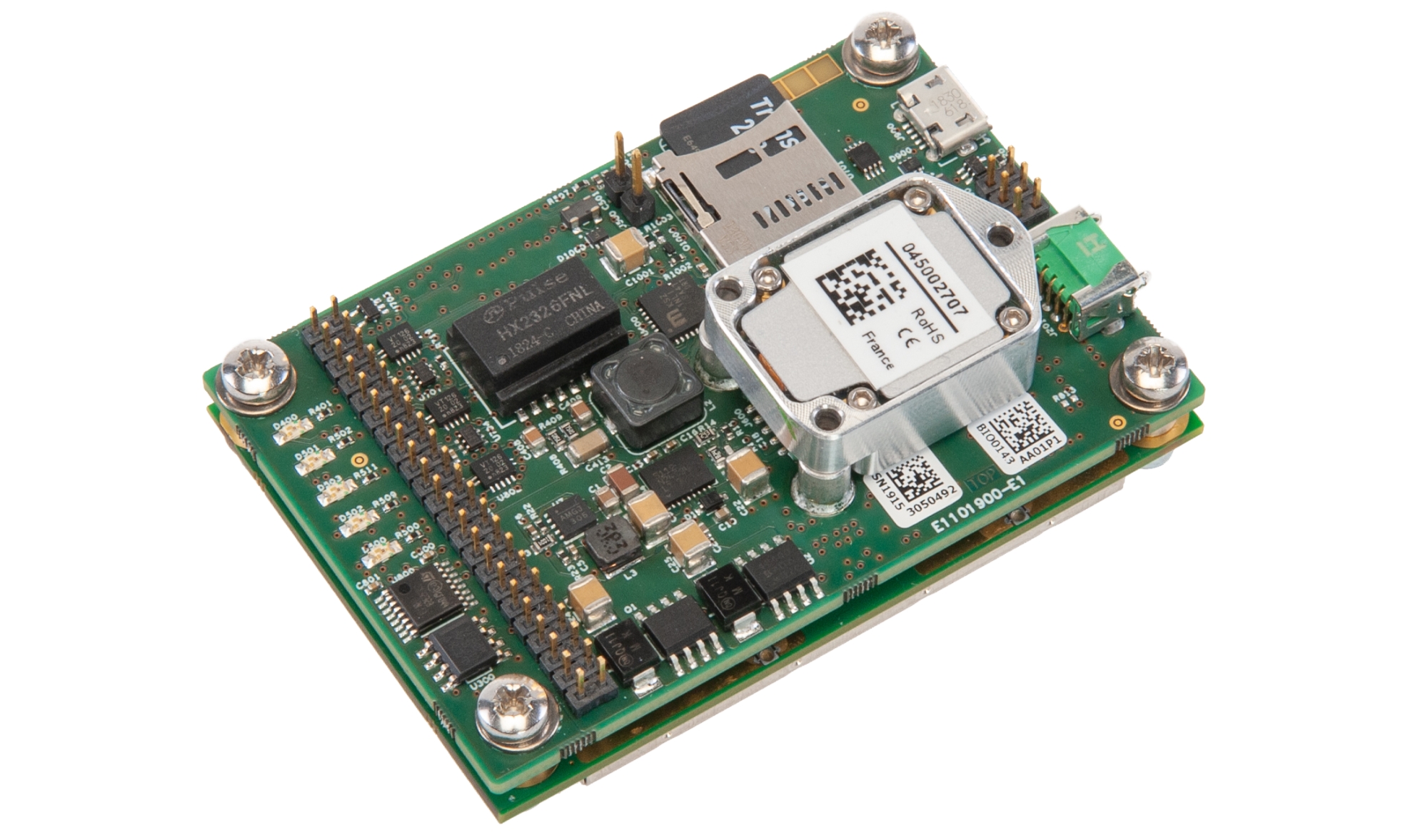
Septentrio unveils a new GNSS/INS receiver for Unmanned Aerial Systems
News - Geoprocessing and GIS
5G wireless mapping puts LAND INFO on list of fastest growing companies
News - GNSS and Positioning
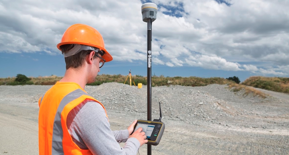
Trimble Introduces New Compact-Sized Tablet for Geospatial Field Applications
Drones and Robotics
Succes Case: Drones in an Inspection of Boiler
News - Geoprocessing and GIS
GIS4SmartGrid 2019, 24-26 September in Berlin
Drones and Robotics
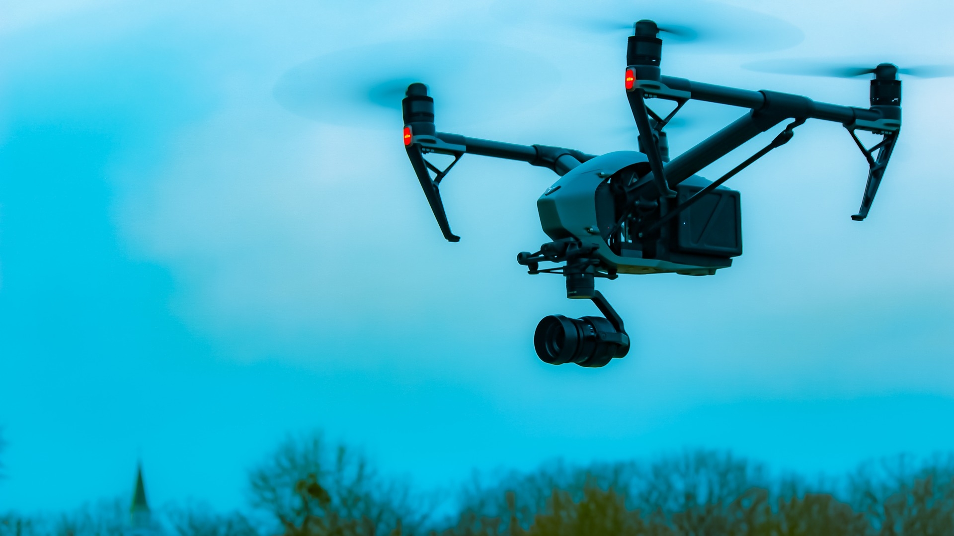
How using the Elios 2 drone is possible for Indoor Photogrammetry
Drones and Robotics
DroneShow and MundoGEO 2019 gathered 3.800 attendees and 110 brands in the fair
News - GNSS and Positioning
Hexagon expands Leica BLK series
News - Remote Sensing
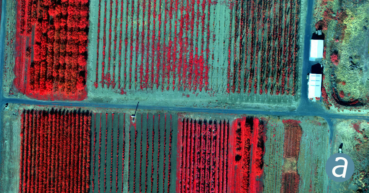
SimActive Releases Version 8.2 for Processing of Multispectral Imagery
Editorials
Live Schedule


