Geospatial Technologies
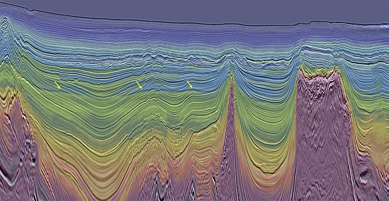
Viridien completes reimaging of BM-S-2 multi-client survey in Brazil’s southern Santos Basin
brazil
Geospatial Technologies
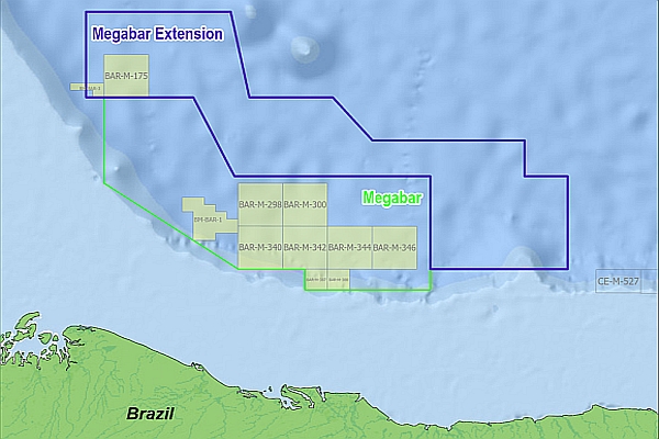
Viridien and TGS Announce Megabar Extension Phase I Multi-client Project Offshore Brazil
Geospatial Technologies
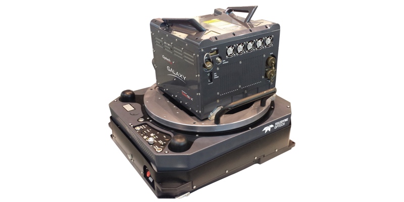
Fototerra expands its fleet of airborne lidar mappers with an additional Optech Galaxy system
Drones and Robotics
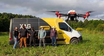
Brazil Introduces Agricultural Drones from XAG to Plant Trees
Drones and Robotics
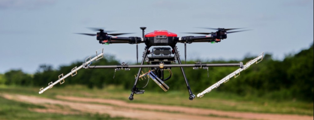
3 Band Airborne Radar: Radaz and SkyDrones Integrate their Products
Drones and Robotics
Brazil acquires UAV to monitor stadiums during the FIFA World Cup
Editorials
Live Schedule


