drone
Drones and Robotics
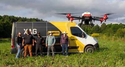
Brazil Introduces Agricultural Drones from XAG to Plant Trees
Drones and Robotics
Apache 4 USV in the hydrographic survey project
Drones and Robotics
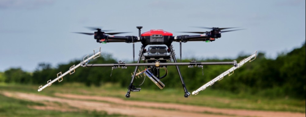
3 Band Airborne Radar: Radaz and SkyDrones Integrate their Products
Drones and Robotics
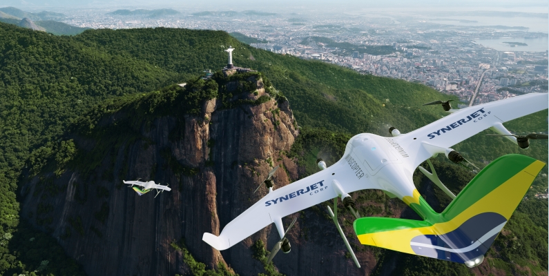
SYNERJET becomes first Wingcopter Authorized Partner in South America
Drones and Robotics
Drones: a simple tool or serious piloting skills required?
Drones and Robotics
Pix4D celebrates 10 year anniversary and launches a new logo
Drones and Robotics
Iris Automation announces availability of Casia X detect and avoid system
Drones and Robotics
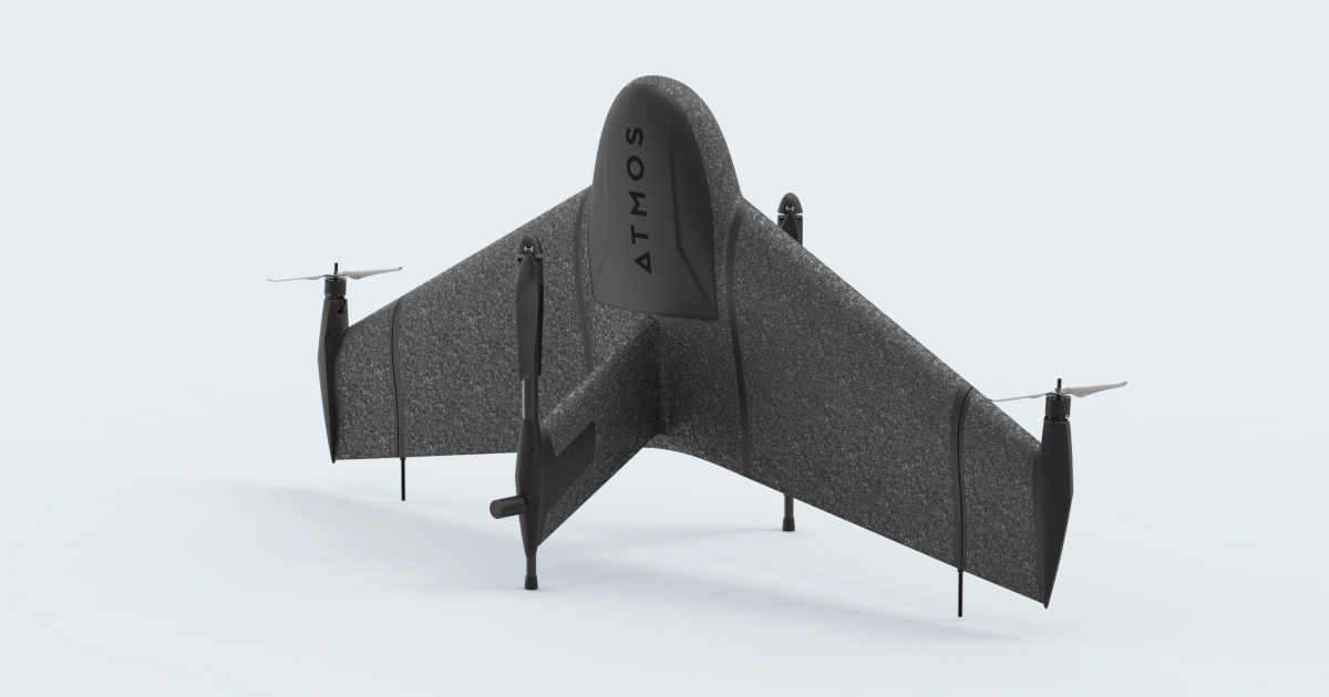
Atmos Launches the Cobalt Release
Drones and Robotics
Geography of drones – definition and significance in geography
Drones and Robotics
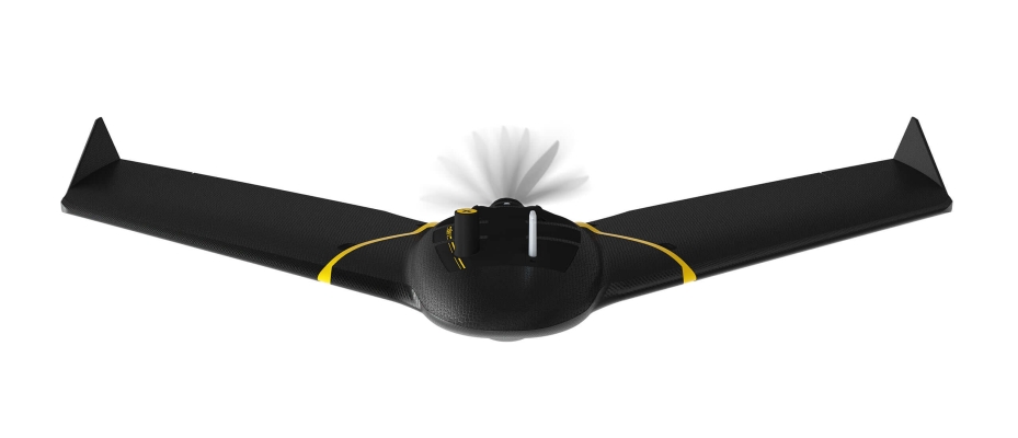
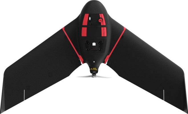
senseFly Launches eBee Ag Fixed-wing Mapping Drone for Agriculture
Drones and Robotics
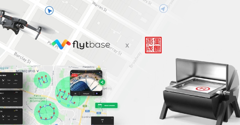
Introducing Automated Aerial Security Solution For DJI Mavic 2 Enterprise
Editorials
Live Schedule


