mapping
Geospatial Technologies
Juniper Systems launches Uinta Mapping and Data Collection Software on iOS
News - Geoprocessing and GIS
OGC membership approves new Community Standard: Indoor Mapping Data Format
News - Remote Sensing
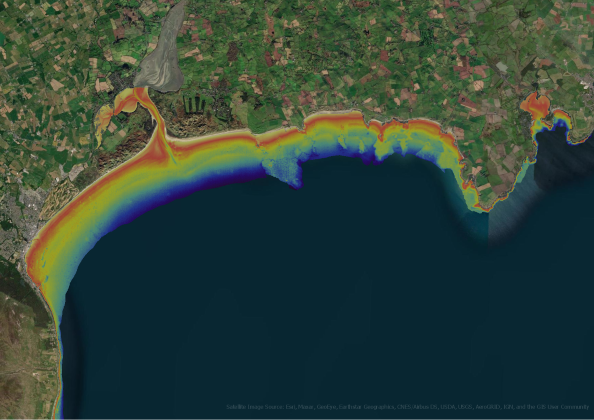
Fugro partners on 4S global satellite observation seafloor mapping innovation
News - Geoprocessing and GIS
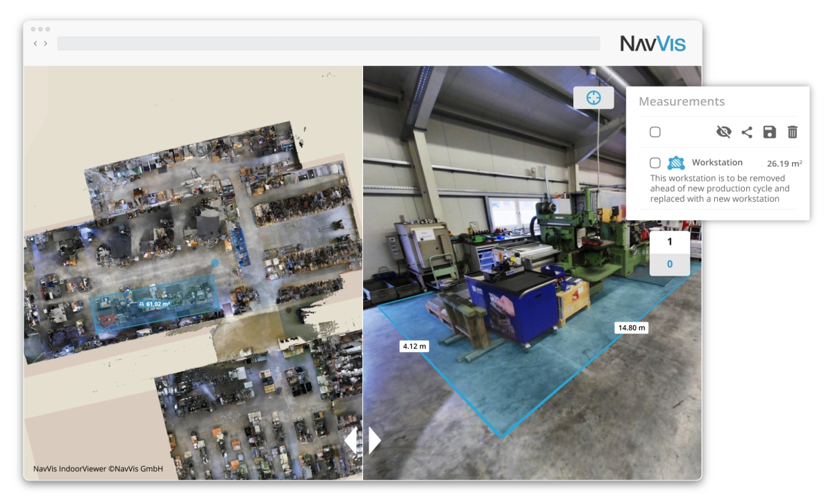
NavVis IndoorViewer 2.7: Taking the next step towards seamless virtual planning and communication
News - GNSS and Positioning
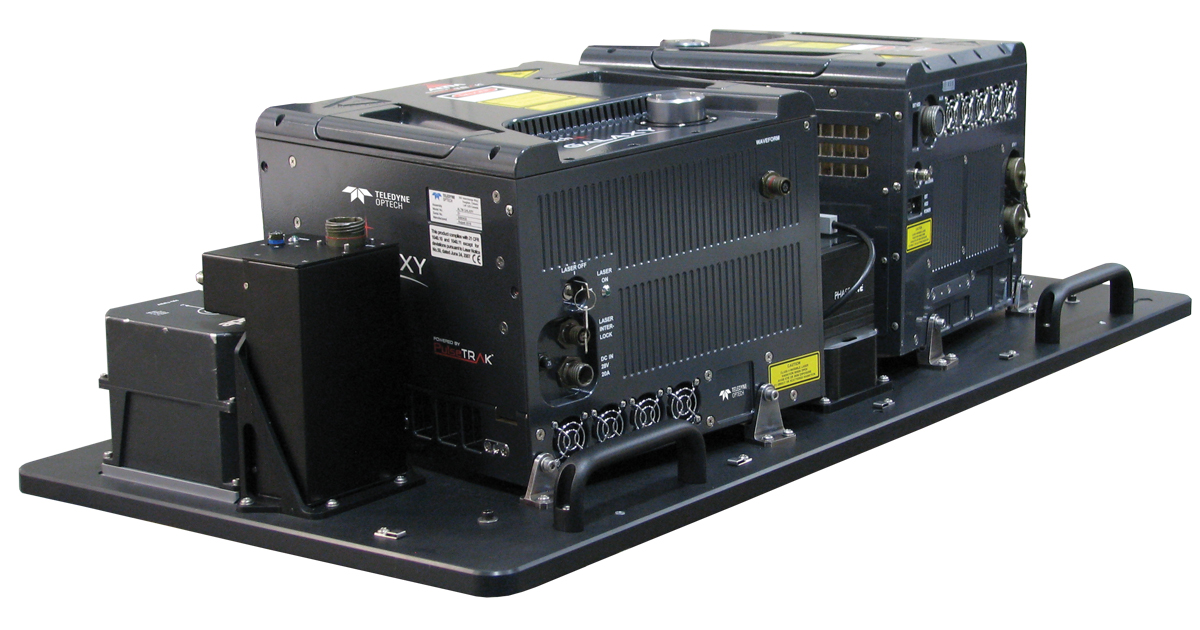
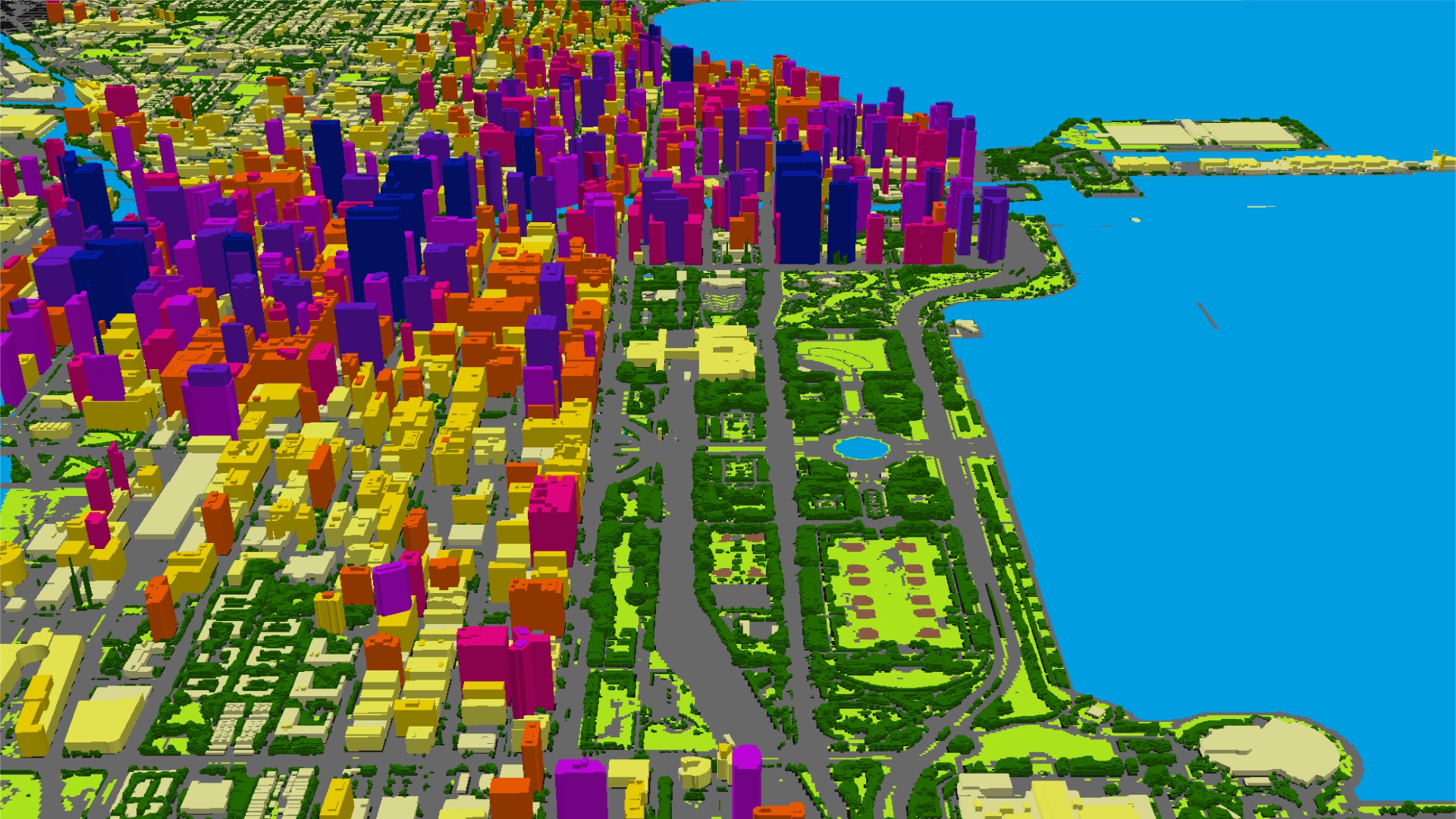
Teledyne Optech partners with Aerial Surveys International to provide hyper-realistic mapping solution
News - Geoprocessing and GIS
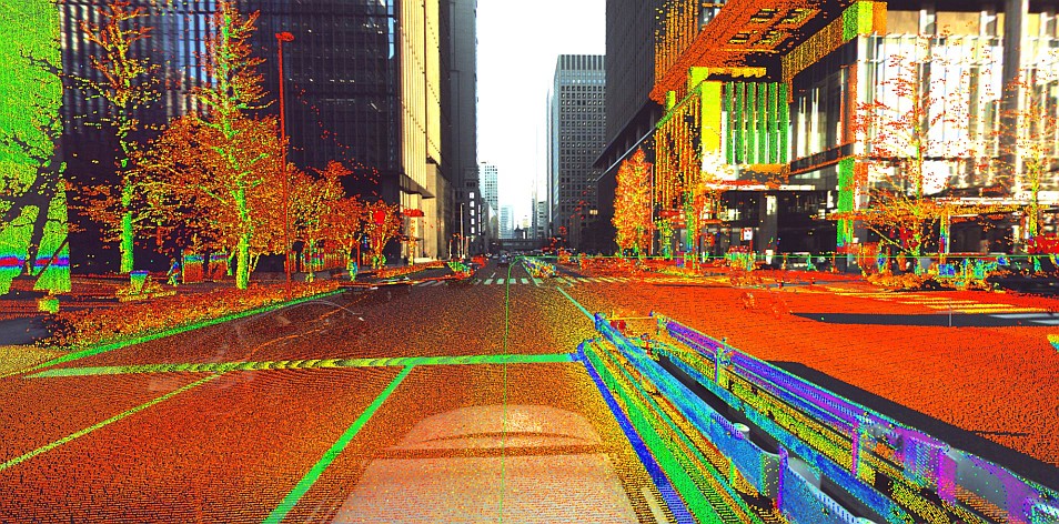
Launch of NavVis VLX readies mobile mapping for mainstream use in surveying by delivering unprecedented data quality
News - Geoprocessing and GIS
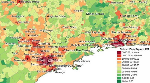
5G wireless mapping puts LAND INFO on list of fastest growing companies
News - GNSS and Positioning
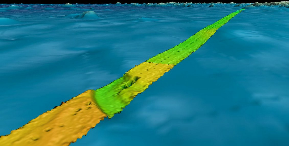
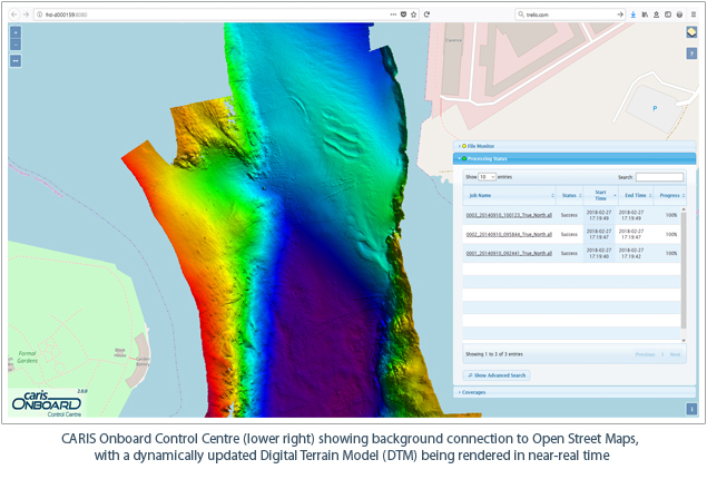
Fugro supports two ocean mapping initiatives with large crowd sourced bathymetry contribution
Drones and Robotics
senseFly introduces the Solar 360 thermal drone solution
Editorials
Live Schedule


