Geospatial Technologies
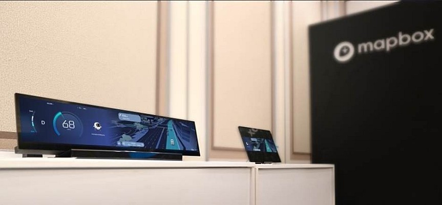
Mapbox and Hyundai AutoEver Show AI-Driven 3D Navigation and Voice Experience
navigation
Geospatial Technologies
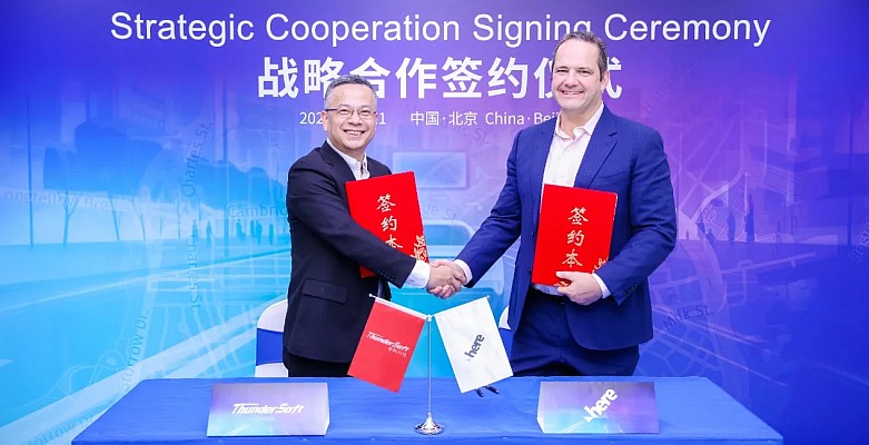
ThunderSoft Partners with HERE Technologies to Enhance Intelligent Navigation Solutions
Drones and Robotics
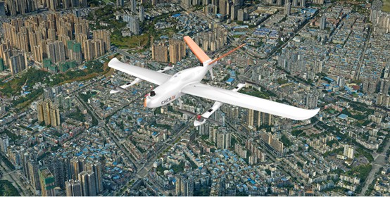
CHCNAV P330 Pro UAV Photogrammetry used in City Planning
Drones and Robotics
UAV monitors landslide on Czech Highway
Editorials
Live Schedule


