Drones and Robotics
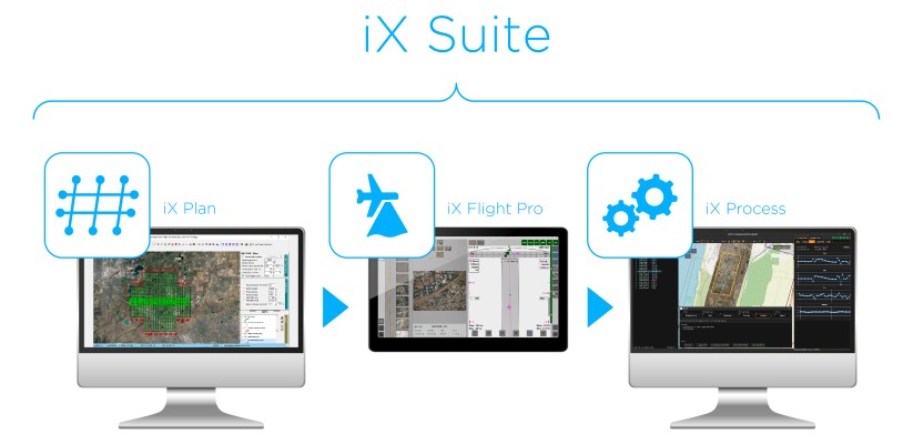
Phase One Announces iX Suite for Seamless Aerial Mapping Workflow
processing
Drones and Robotics
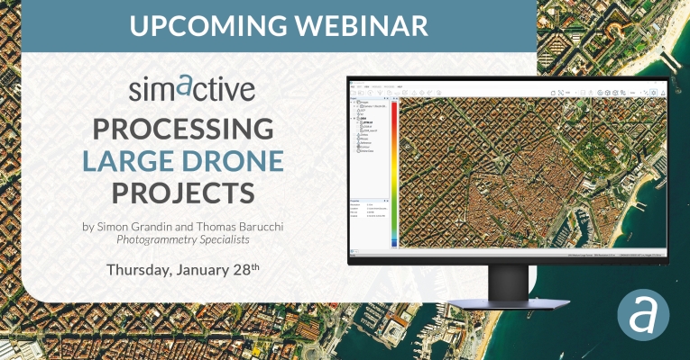
Webinar: Processing Large Drone Projects
Drones and Robotics
Aibotix and Intergraph join forces
Geoprocessing and GIS
GCS hires naval veteran as director of business development
GNSS and Positioning
Spar Europe & European LiDAR mapping conference begins on monday
GNSS and Positioning
Maptek I-Site 3D technology used to model Mount Panorama race circuit
Drones and Robotics
Gexcel to Release 3D Software for UAV at Intergeo
Geoprocessing and GIS
The OGC requests comment on the Scaling Extension to the OGC WCS Interface Standard
Geoprocessing and GIS
The OGC requests comment on the range subsetting extension to the WCS standard
Geoprocessing and GIS
Orbit GT releases Orbit GIS 10.1
Geoprocessing and GIS
Blue Marble to exhibit at the 2012 International LiDAR Mapping Forum
Editorials
Webinar Schedule